Loading...
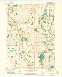
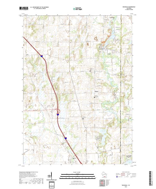
Loading map...1961 Map of Rockdale
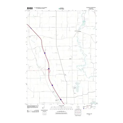
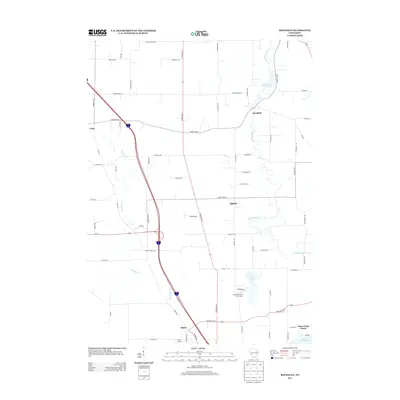
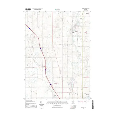
USGS Topo · Published 1964About this map
Rockdale and its surrounding wetlands define the landscape of eastern Dane County during the early 1960s. The village is situated along the Koshkonong creek system, anchored by the Rockdale Millpond and its associated quarries. To the south, the terrain opens into a series of interconnected water bodies including Rice Lake, Sweet Lake, and Turtle Lake, before reaching the northern tip of Lake Koshkonong at Olsons Bay.
Find a feature on this map
35 named features on this map. Tap any name to fly to it.
Don’t see what you’re looking for? This feature index may not catch every label — zoom into the map to look around manually.
Map Details
Date Portrayed1961
Date Published1964
PublisherU.S. Geological Survey
Map TypeTopographic
Scale1:24,000
Physical Dimensions22 x 27.53 inches
Editions of this 1961 Rockdale Map
2 editions found

Historical Maps of Oakland Through Time
6 maps found
Featured Locations
Source Details
SourceU.S. Geological Survey
CopyrightPublic Domain