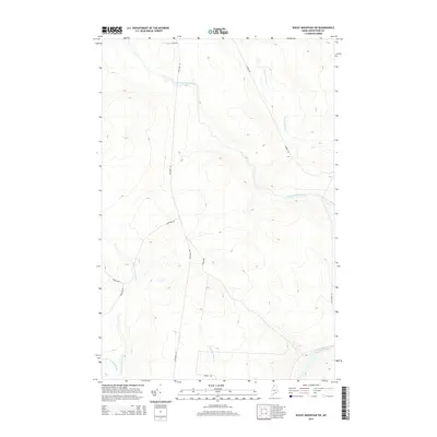
2014 Map of Rocky Mountain SW
USGS Topo · Published 2014About this map
The Saint John River flows through the southeastern corner of this Aroostook County landscape, serving as a primary geographic anchor in a region defined by its dense network of waterways and timber-access roads. The terrain is deeply carved by drainage systems including Chimenticook Stream and Pocwock Stream, which dictate the local topography of ridges and valleys. A complex grid of logging and boundary roads, such as Estcourt Rd and Canada Rd, reflects the industrial and international border-proximate character of the territory. The presence of Old River Rd near the main river channel suggests historical transit routes that predated the more modern gravel road network. Smaller tributaries like Seminary Brook and N Br Twomile Brook further illustrate the intricate watershed that feeds the northern Maine river systems in this remote township.
Find a feature on this map
13 named features on this map. Tap any name to fly to it.
Don’t see what you’re looking for? This feature index may not catch every label — zoom into the map to look around manually.
Map Details
Editions of this 2014 Rocky Mountain SW Map
This is the sole edition of this map. No revisions or reprints were ever made.
Other maps of this area

1954 · Presque Isle
USGS Topo · 1:250,000

1955 · Rocky Mountain
USGS Topo · 1:62,500

1955 · Little East Lake
USGS Topo · 1:62,500

1955 · Round Pond
USGS Topo · 1:62,500

1955 · Seven Islands
USGS Topo · 1:62,500

1958 · Presque Isle
USGS Topo · 1:250,000

1960 · Presque Isle
USGS Topo · 1:250,000

1962 · Edmundston
USGS Topo · 1:250,000

1976 · East Lake
USGS Topo · 1:24,000

1976 · East Lake SE
USGS Topo · 1:24,000