2023 Map of Rogersville
USGS Topo · Published 2023About this map
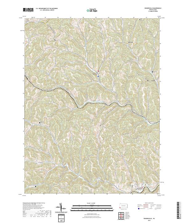
Rogersville and the surrounding drainage of South Fork Tenmile Creek define this rural landscape near the boundary of Washington and Greene counties. The area is characterized by a dense network of winding hollows and ridges, with small settlements like Nineveh and Rutan situated along narrow valley floors. Transportation routes such as W & W Railroad Rd and Browns Creek Rd follow these natural contours, illustrating how the geography of southwestern Pennsylvania dictated historical movement and settlement patterns.
Find a feature on this map
75 named features on this map. Tap any name to fly to it.
Don’t see what you’re looking for? This feature index may not catch every label — zoom into the map to look around manually.
Map Details
Editions of this 2023 Rogersville Map
This is the sole edition of this map. No revisions or reprints were ever made.
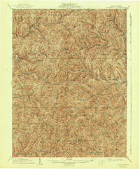
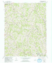
Historical Maps of Washington County Through Time
3 maps found
Featured Locations
- Morris Township, PA
- Center Township, PA
- Washington Township, PA
- Franklin Township, PA
- East Finley Township, PA