2022 Map of Rome
USGS Topo · Published 2022About this map
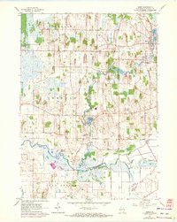
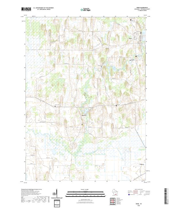
Bark River and the Scuppernong River wind through this Jefferson County landscape, shaping a terrain defined by extensive wetlands and small glacial ponds. The settlement of Rome sits at the northern edge, where Rome Pond provides a focal point near Saint Luke's Cem and the Hoffman Cem. Further south, the community of Hebron is surrounded by family-named landmarks and local burial grounds like Hebron Cem and Monroe Cem, reflecting a long-established rural network. This 2022 survey captures the persistent agricultural and natural character of the region, where roads like Co Rd D and Co Trunk City connect dispersed farmsteads. The mapping of Slabtown Pond and Cushman Pond alongside numerous cemeteries offers a detailed view of the local geography and genealogy of southeastern Wisconsin.
Find a feature on this map
73 named features on this map. Tap any name to fly to it.
Don’t see what you’re looking for? This feature index may not catch every label — zoom into the map to look around manually.
Map Details
Editions of this 2022 Rome Map
This is the sole edition of this map. No revisions or reprints were ever made.