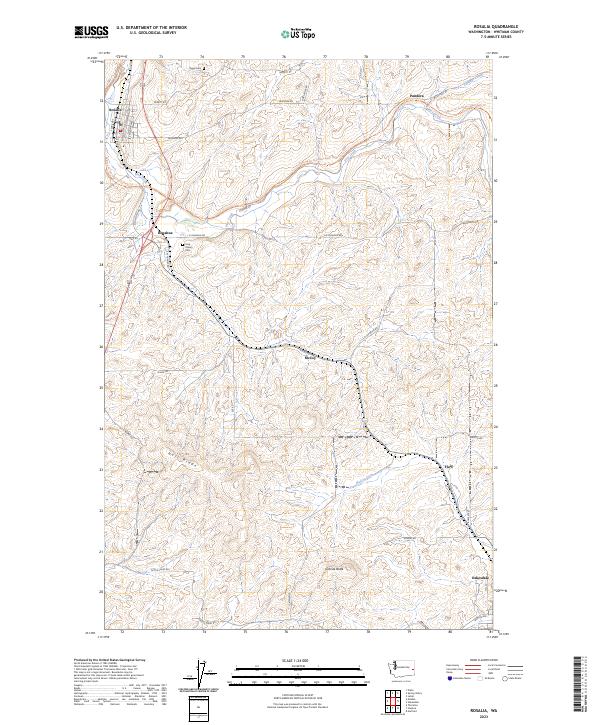
2023 Map of Rosalia
USGS Topo · Published 2023About this map
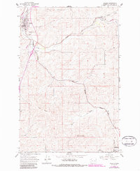
Rosalia and Oakesdale anchor this corner of the Palouse region, where the landscape is defined by the drainage of Pine Creek and its tributaries like McCoy Creek. The terrain is characterized by rolling agricultural land punctuated by significant elevations such as Naff Ridge and Granite Butte. The transition from historic rail infrastructure to modern recreational use is evident in the Palouse To Cascades State Park Trl, which follows a winding path through the hills. This map captures several small named settlements and junctions that served the local farming economy, including McCoy, Flaig, Pandora, and Donahue. Genealogists will find the locations of local burial grounds, specifically Holy Rosary Cem and Riggs Cem, which remain as quiet landmarks in the rural countryside of Whitman County.
Find a feature on this map
34 named features on this map. Tap any name to fly to it.
Don’t see what you’re looking for? This feature index may not catch every label — zoom into the map to look around manually.
Map Details
Editions of this 2023 Rosalia Map
This is the sole edition of this map. No revisions or reprints were ever made.
Historical Maps of Whitman County Through Time
3 maps found