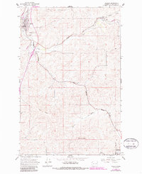
1964 Map of Rosalia
USGS Topo · Published 1986About this map
Pine Creek winds through the agricultural landscape of northern Whitman County, anchoring a network of rail lines and small settlements established in the Palouse region. The town of Rosalia serves as a primary hub in the northwest corner, situated near Steptoe Memorial State Park and the historic Riggs Cemetery. The map documents the mid-century dominance of the Burlington Northern and Union Pacific railroads, which connected smaller loading points like Pandora, Donahue, McCoy, and Flaig to the larger corporate center at Oakesdale. Significant topographical landmarks such as Naff Ridge and Granite Butte provide a vertical contrast to the drainage basins of Cabbage Creek and Willow Creek. This 1964 survey, updated with 1980s data, illustrates the transition from traditional rail-based commerce to a more mechanized landscape, marked by several segments of abandoned rail beds.
Find a feature on this map
23 named features on this map. Tap any name to fly to it.
Don’t see what you’re looking for? This feature index may not catch every label — zoom into the map to look around manually.
Map Details
Editions of this 1964 Rosalia Map
2 editions found
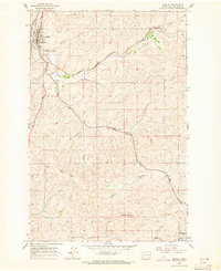
Other maps of this area

1903 · Oakesdale
USGS Topo · 1:125,000

1905 · Oakesdale
USGS Topo · 1:125,000

1954 · Spangle
USGS Topo · 1:62,500

1954 · Fairfield
USGS Topo · 1:62,500

1955 · Spokane
USGS Topo · 1:250,000

1958 · Spokane
USGS Topo · 1:250,000

1964 · Oakesdale
USGS Topo · 1:24,000

1964 · Malden
USGS Topo · 1:24,000
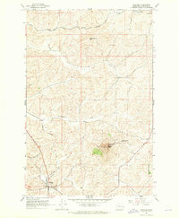
1964 · Steptoe
USGS Topo · 1:24,000
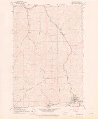
1964 · Garfield
USGS Topo · 1:24,000