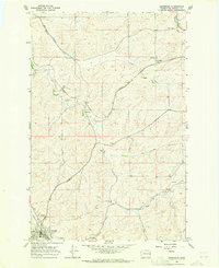
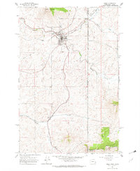
1964 Map of Oakesdale
USGS Topo · Published 1965About this map
Oakesdale serves as the primary hub of this eastern Washington landscape, situated at the junction of multiple major rail lines during the mid-1960s. The convergence of the Northern Pacific, Union Pacific, and Great Northern railroads highlights the area's significance as a transportation and agricultural center. Smaller outlying settlements like Fairbanks, Seabury, and Warner are scattered throughout the territory, often positioned along these vital rail corridors or near water sources such as Pine Creek and Cabbage Creek.
Find a feature on this map
18 named features on this map. Tap any name to fly to it.
Don’t see what you’re looking for? This feature index may not catch every label — zoom into the map to look around manually.
Map Details
Editions of this 1964 Oakesdale Map
2 editions found
Other maps of this area

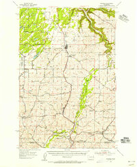
1903 · Oakesdale
USGS Topo · 1:125,000

1905 · Oakesdale
USGS Topo · 1:125,000
1954 · Spangle
USGS Topo · 1:62,500
1954 · Fairfield
USGS Topo · 1:62,500

1955 · Spokane
USGS Topo · 1:250,000

1958 · Spokane
USGS Topo · 1:250,000
1964 · Tekoa
USGS Topo · 1:24,000
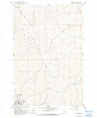
1964 · Steptoe
USGS Topo · 1:24,000
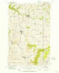
1964 · Garfield
USGS Topo · 1:24,000
1964 · Rosalia
USGS Topo · 1:24,000