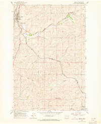
1964 Map of Rosalia
USGS Topo · Published 1965About this map
Rosalia serves as a central hub on this Palouse landscape, where the Great Northern, Northern Pacific, and Chicago Milwaukee St Paul and Pacific railroads once converged. This high-density rail network highlights the importance of the region's agricultural transport in the mid-1960s, connecting small sidings and communities like Pandora, Donahue, McCoy, and Flaig. The terrain is defined by the winding course of Pine Creek and the prominent Naft Ridge, while Steptoe Memorial State Park marks a significant local landmark south of the Rosalia townsite. Genealogists and local historians can locate specific family-named landmarks such as Riggs Cemetery and the high point at Granite Butte, which overlooks the approaches to Oakesdale at the southeastern corner of the quadrangle.
Find a feature on this map
22 named features on this map. Tap any name to fly to it.
Don’t see what you’re looking for? This feature index may not catch every label — zoom into the map to look around manually.
Map Details
Editions of this 1964 Rosalia Map
2 editions found
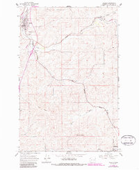
Other maps of this area

1903 · Oakesdale
USGS Topo · 1:125,000

1905 · Oakesdale
USGS Topo · 1:125,000

1954 · Spangle
USGS Topo · 1:62,500

1954 · Fairfield
USGS Topo · 1:62,500

1955 · Spokane
USGS Topo · 1:250,000

1958 · Spokane
USGS Topo · 1:250,000

1964 · Oakesdale
USGS Topo · 1:24,000

1964 · Malden
USGS Topo · 1:24,000
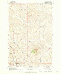
1964 · Steptoe
USGS Topo · 1:24,000
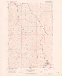
1964 · Garfield
USGS Topo · 1:24,000