2021 Map of Rosebud
USGS Topo · Published 2021About this map
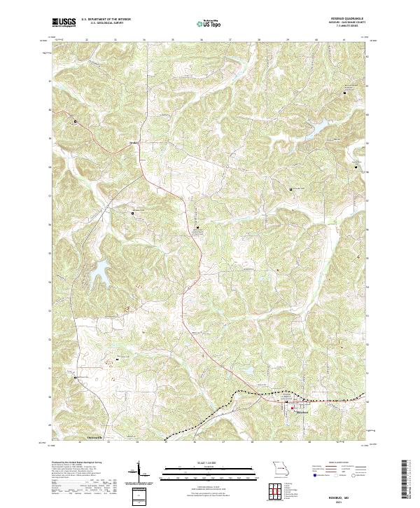
The town of Rosebud serves as a focal point in this portion of Gasconade County, situated where the terrain is carved by the winding drainage of Boeuf Cr and its many tributaries. The area's cultural history is deeply rooted in its numerous country churches and burial grounds, such as the Saint James United Church of Christ Cem and the Beemont United Methodist Church Cem. These sites, along with smaller family-named landmarks like Schroeder Cem and Matthews Cem, offer significant detail for genealogical research in this part of Missouri.
Find a feature on this map
62 named features on this map. Tap any name to fly to it.
Don’t see what you’re looking for? This feature index may not catch every label — zoom into the map to look around manually.
Map Details
Editions of this 2021 Rosebud Map
This is the sole edition of this map. No revisions or reprints were ever made.