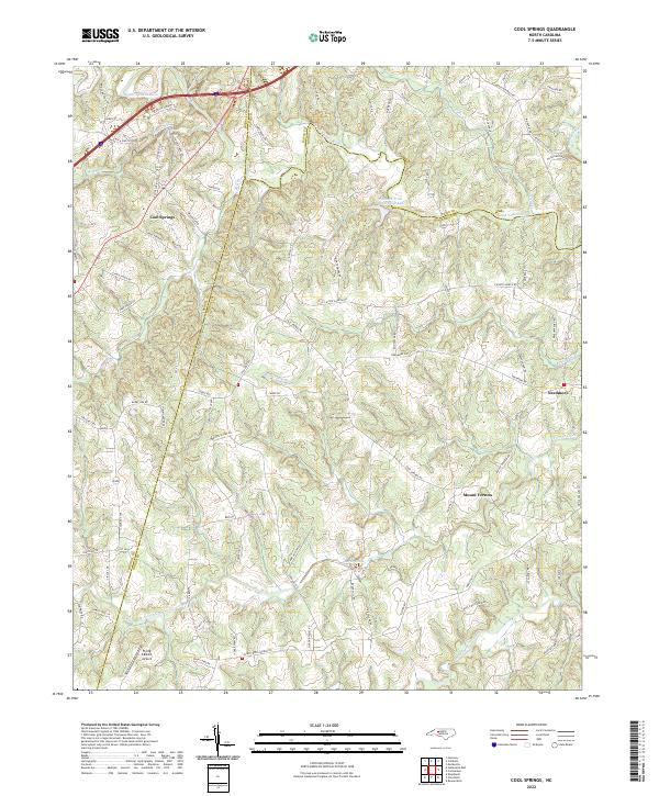
2022 Map of Rowan Mills
USGS Topo · Published 2022About this map
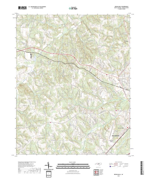
Salisbury and the surrounding Rowan County landscape are defined by a dense network of waterways and evolving suburban fringes in this 2022 survey. The area around Rowan Mills shows the concentration of modern infrastructure, centered on the Mid-Carolina Regional Airport and the expanding road networks connecting to the northwest. Smaller settlements like Franklin remain part of a landscape etched by significant drainage systems including Second Creek, Grants Cr, and the uniquely named Jump and Run Br.
Find a feature on this map
175 named features on this map. Tap any name to fly to it.
Don’t see what you’re looking for? This feature index may not catch every label — zoom into the map to look around manually.
Map Details
Editions of this 2022 Rowan Mills Map
This is the sole edition of this map. No revisions or reprints were ever made.
Historical Maps of Woodbridge Run Through Time
5 maps found