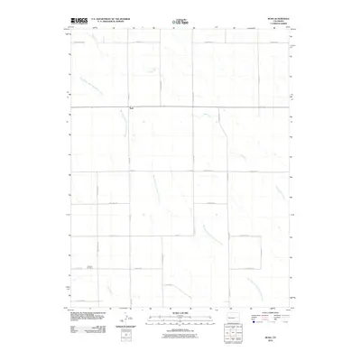
2010 Map of Rush
USGS Topo · Published 2010About this map
The settlement of Rush serves as a central landmark for this high plains landscape at the start of the 21st century. Defined by a grid of rural thoroughfares such as Harding Ranch Rd and McCurdy Rd, the region is marked by its intermittent watercourses, including Steels Fork, West Branch Steels Fork Horse Creek, and Pond Creek. These seasonal drainages dictate the orientation of the surrounding homesteads and ranch lands, illustrating the geographic constraints of Colorado's eastern plains. Local genealogy and community history are anchored by Crescent Cemetery in the southwest and Gideons Pt to the south. This survey captures a moment when traditional ranching life continues alongside the established county road network, preserving the names of local landmarks and families that have long shaped this area of El Paso County.
Find a feature on this map
28 named features on this map. Tap any name to fly to it.
Don’t see what you’re looking for? This feature index may not catch every label — zoom into the map to look around manually.
Map Details
Editions of this 2010 Rush Map
This is the sole edition of this map. No revisions or reprints were ever made.
Other maps of this area

1889 · Sanborn
USGS Topo · 1:125,000

1891 · Sanborn
USGS Topo · 1:125,000

1893 · Sanborn
USGS Topo · 1:125,000

1893 · Big Springs
USGS Topo · 1:125,000

1954 · Lamar
USGS Topo · 1:250,000

1954 · Pueblo
USGS Topo · 1:250,000

1957 · Pueblo
USGS Topo · 1:250,000

1958 · Pueblo
USGS Topo · 1:250,000

1958 · Lamar
USGS Topo · 1:250,000

1962 · Pueblo
USGS Topo · 1:250,000