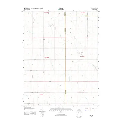
2013 Map of Rush
USGS Topo · Published 2013About this map
Rush serves as the central hub of this eastern El Paso County landscape, situated at the intersection of a vast grid of gravel and section-line roads. The terrain is defined by the intermittent drainage of Steels Fork and the W Br Steels Fork Horse Cr, which carve shallow paths through the high plains. A prominent elevation at Gideons Pt rises above the surrounding flats in the southern portion of the quadrangle. Local history and genealogy are anchored at the Crescent Cem, located near the junction of Whittemore Rd and Trogilo Rd. The survey meticulously documents the rural infrastructure of the early 21st century, from the primary corridor of S Rush Rd to remote tracks like Fossinger Rd and Gieck Rd, illustrating the persistence of agricultural settlement patterns across the plains of Colorado.
Find a feature on this map
37 named features on this map. Tap any name to fly to it.
Don’t see what you’re looking for? This feature index may not catch every label — zoom into the map to look around manually.
Map Details
Editions of this 2013 Rush Map
This is the sole edition of this map. No revisions or reprints were ever made.
Other maps of this area

1889 · Sanborn
USGS Topo · 1:125,000

1891 · Sanborn
USGS Topo · 1:125,000

1893 · Sanborn
USGS Topo · 1:125,000

1893 · Big Springs
USGS Topo · 1:125,000

1954 · Lamar
USGS Topo · 1:250,000

1954 · Pueblo
USGS Topo · 1:250,000

1957 · Pueblo
USGS Topo · 1:250,000

1958 · Pueblo
USGS Topo · 1:250,000

1958 · Lamar
USGS Topo · 1:250,000

1962 · Pueblo
USGS Topo · 1:250,000