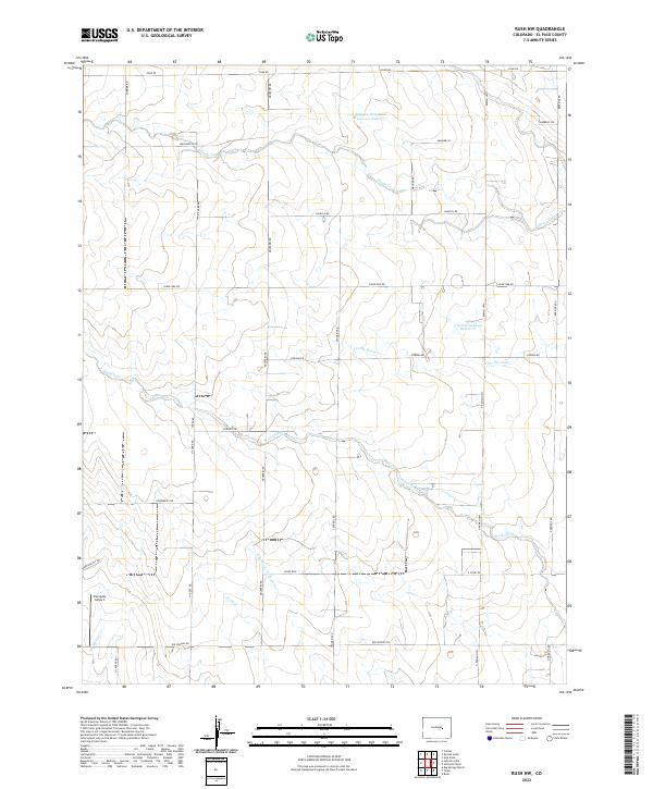
2022 Map of Rush NW
USGS Topo · Published 2022About this map
Tranquila Airport sits on the western edge of this High Plains landscape in El Paso County, where a network of intermittent creeks and ranch roads defines the rural character. The terrain is deeply inscribed by the drainage systems of Horse Cr and Little Horse Cr, which flow toward the east alongside managed water features like Minkler Detention Reservoir Number 1 and the Charles Golding Reservoir.
Find a feature on this map
37 named features on this map. Tap any name to fly to it.
Don’t see what you’re looking for? This feature index may not catch every label — zoom into the map to look around manually.
Map Details
Editions of this 2022 Rush NW Map
This is the sole edition of this map. No revisions or reprints were ever made.
Other maps of this area

1893 · Big Springs
USGS Topo · 1:125,000

1953 · Denver
USGS Topo · 1:250,000

1954 · Pueblo
USGS Topo · 1:250,000

1957 · Denver
USGS Topo · 1:250,000

1957 · Pueblo
USGS Topo · 1:250,000

1958 · Pueblo
USGS Topo · 1:250,000

1958 · Denver
USGS Topo · 1:250,000

1960 · Denver
USGS Topo · 1:250,000

1962 · Pueblo
USGS Topo · 1:250,000

1966 · Pueblo
USGS Topo · 1:250,000