2023 Map of Rushville
USGS Topo · Published 2023About this map
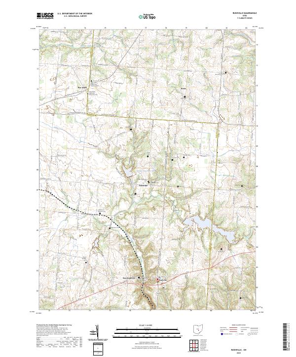
West Rushville and Rushville anchor the southern reach of this landscape, situated along a prominent east-west corridor where Little Rush Creek carves through the terrain. The map reveals a high density of ancestral burial grounds, suggesting deep-rooted family ties across this portion of Fairfield and Perry counties. To the north, the settlement of New Salem is notable for housing both the New Salem Methodist Episcopal and New Salem Methodist Protestant cemeteries, reflecting distinct denominational histories in a single community. The drainage patterns of Indian Creek and Walnut Creek define the agricultural layout, while smaller hamlets like Oakthorpe and Bruno appear at significant road junctions. Numerous family-named landmarks, such as the Kaufman - Valentine and Combs Family cemeteries, provide specific touchpoints for genealogical research in this rural Ohio quadrangle.
Find a feature on this map
102 named features on this map. Tap any name to fly to it.
Don’t see what you’re looking for? This feature index may not catch every label — zoom into the map to look around manually.
Map Details
Editions of this 2023 Rushville Map
This is the sole edition of this map. No revisions or reprints were ever made.
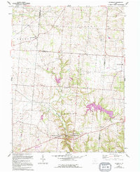
Historical Maps of Bruno Through Time
Featured Locations
- Bruno, OH
- Pleasant Township, OH
- Richland Township, OH
- Rushville, Richland Township
- West Rushville, Richland Township