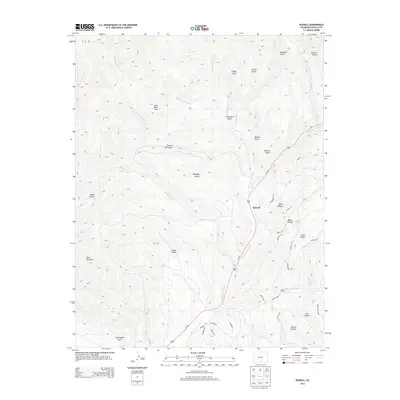
2013 Map of Russell
USGS Topo · Published 2013About this map
Russell serves as the central hub of this Costilla County landscape, situated along the corridor of Us-160. The geography is defined by a dense network of gulches and canyons that drain into the Sangre de Cristo Cr, including Flume Gulch, Spanish Gulch, and Kennedy Gulch. These drainages separate high points such as Lone Rock Hill and the prominent Buck Mountain. To the south, a grid of modern rural residential roads like Wagon Mesa Loop and Forbes Park Rd indicates late 20th-century subdivision patterns imposed upon the drainage basins of Wagon Cr and Coyote Canyon. The map reveals the transition from wilder terrain in the north, where Middle Fork Placer Cr and S Fork Placer Cr descend from the heights, to the organized land management seen in the southern developments near the border of the quadrangle.
Find a feature on this map
51 named features on this map. Tap any name to fly to it.
Don’t see what you’re looking for? This feature index may not catch every label — zoom into the map to look around manually.
Map Details
Editions of this 2013 Russell Map
This is the sole edition of this map. No revisions or reprints were ever made.
Other maps of this area
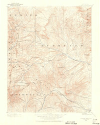
1889 · Huerfano Park
USGS Topo · 1:125,000
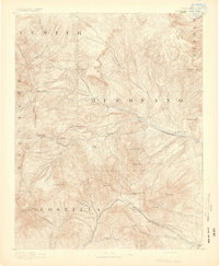
1892 · Huerfano Park
USGS Topo · 1:125,000
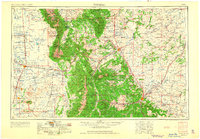
1954 · Trinidad
USGS Topo · 1:250,000
1955 · Trinidad
USGS Topo · 1:250,000
1958 · Trinidad
USGS Topo · 1:250,000
1959 · Trinidad
USGS Topo · 1:250,000
1963 · Mc Carty Park
USGS Topo · 1:24,000
1963 · La Veta Pass
USGS Topo · 1:24,000
1967 · Mosca Pass
USGS Topo · 1:24,000
1967 · Blanca Peak
USGS Topo · 1:24,000