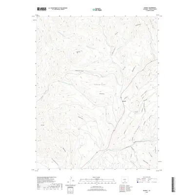
2019 Map of Russell
USGS Topo · Published 2019About this map
Russell serves as the central point for this high-altitude landscape where the Sangre de Cristo Mountains transition into the San Luis Valley. The terrain is defined by a dense network of gulches and creeks that feed into Sangre de Cristo Cr, which follows the path of Highway 160. Significant drainages like S Fork Placer Cr and Middle Fork Placer Cr gather from the slopes of Lone Rock Hill and Buck Mtn. The naming of features like Bronco Dan Gulch and Strawberry Gulch reflects a localized history of ranching and settlement. To the southeast, the geography becomes more complex with steep passages through Coyote Canyon and Arlen Gulch, while recent residential development is evident in the winding network of private roads including Forbes Park Rd and Wagon Mesa Loop.
Find a feature on this map
50 named features on this map. Tap any name to fly to it.
Don’t see what you’re looking for? This feature index may not catch every label — zoom into the map to look around manually.
Map Details
Editions of this 2019 Russell Map
This is the sole edition of this map. No revisions or reprints were ever made.
Other maps of this area
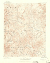
1889 · Huerfano Park
USGS Topo · 1:125,000
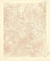
1892 · Huerfano Park
USGS Topo · 1:125,000
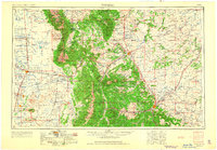
1954 · Trinidad
USGS Topo · 1:250,000
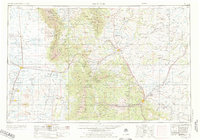
1955 · Trinidad
USGS Topo · 1:250,000
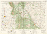
1958 · Trinidad
USGS Topo · 1:250,000
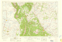
1959 · Trinidad
USGS Topo · 1:250,000
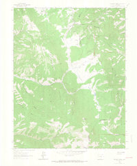
1963 · Mc Carty Park
USGS Topo · 1:24,000
1963 · La Veta Pass
USGS Topo · 1:24,000
1967 · Mosca Pass
USGS Topo · 1:24,000
1967 · Blanca Peak
USGS Topo · 1:24,000