2023 Map of Russells Point
USGS Topo · Published 2023About this map
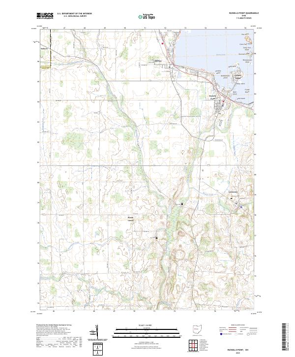
The northern reaches of the Great Miami River define this corner of Logan County, where the river spills out of the expansive reservoir system at Russells Point. This 2023 edition shows the intricate layout of the local resort and residential communities, particularly the cluster of named landforms such as Orchard Island, Paradise Island, and Bellefontaine Island. To the west, the landscape transitions into a grid of agricultural land and managed waterways, including Baughman Ditch and the winding Muchinippi Creek. Small rural centers like Bloom Center and Santa Fe anchor the western township sections, while the established village of Lakeview sits at the water's edge. Genealogists will find the locations of local burial grounds, such as Lewistown Cem and Plum Cem, preserved alongside the modern road network.
Find a feature on this map
99 named features on this map. Tap any name to fly to it.
Don’t see what you’re looking for? This feature index may not catch every label — zoom into the map to look around manually.
Map Details
Editions of this 2023 Russells Point Map
This is the sole edition of this map. No revisions or reprints were ever made.
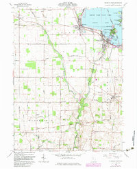
Historical Maps of Orchard Island Through Time
Featured Locations
- Stokes Township, OH
- Santa Fe, OH
- Orchard Island, Washington Township
- Russells Point, Washington Township
- Lakeview, Stokes Township