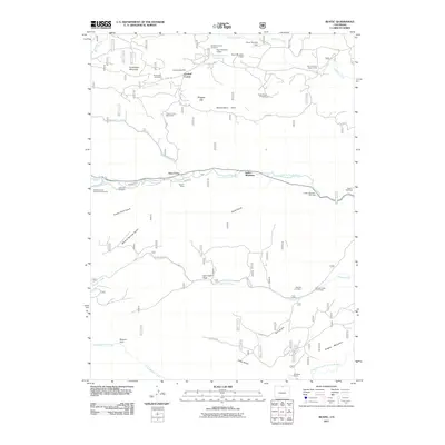
2011 Map of Rustic
USGS Topo · Published 2011About this map
Cache la Poudre River flows through the center of this mountain landscape, providing a geographical anchor for small settlements and mining interests. Along its banks, Glen Echo and the Indian Meadows area show the concentration of activity near the water, while the surrounding high ground is marked by names like Prohibition Mountain and Pingree Hill. The map is particularly notable for its concentration of specialized burial sites and memorials, including the Manhattan Cemetery, Fairbytes Cemetery, and the Great Stupa Cemetery.
Find a feature on this map
51 named features on this map. Tap any name to fly to it.
Don’t see what you’re looking for? This feature index may not catch every label — zoom into the map to look around manually.
Map Details
Editions of this 2011 Rustic Map
This is the sole edition of this map. No revisions or reprints were ever made.
Other maps of this area

1907 · Livermore
USGS Topo · 1:125,000

1909 · Livermore
USGS Topo · 1:125,000

1916 · Home
USGS Topo · 1:125,000

1920 · Home
USGS Topo · 1:125,000

1954 · Greeley
USGS Topo · 1:250,000

1957 · Greeley
USGS Topo · 1:250,000

1958 · Greeley
USGS Topo · 1:250,000

1960 · Haystack Gulch
USGS Topo · 1:24,000

1961 · Greeley
USGS Topo · 1:250,000
1962 · Pingree Park
USGS Topo · 1:24,000