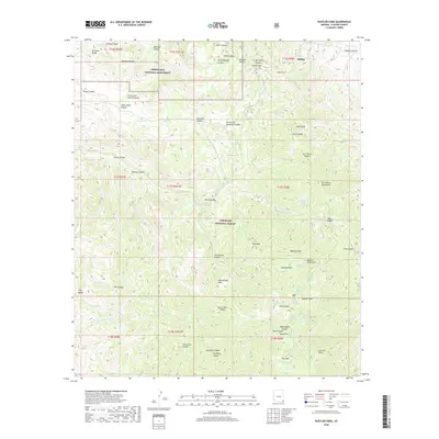
2018 Map of Rustler Park
USGS Topo · Published 2018About this map
The high ridges of the Chiricahua Mountains dominate this 2018 survey, centered on the intersection of Chiricahua National Monument and the Coronado National Forest. In the northeastern quadrant, the small settlement of Hilltop is positioned near Mackey Canyon and the entrance to the Kasper Tunnel, reflecting the area's legacy of subsurface exploration and mining. The terrain is defined by a dense network of steep drainages, including Jesse James Canyon, Sarah Deming Canyon, and Rhyolite Canyon, which descend from high points like Shaw Peak and Garfield Peak.
Find a feature on this map
79 named features on this map. Tap any name to fly to it.
Don’t see what you’re looking for? This feature index may not catch every label — zoom into the map to look around manually.
Map Details
Editions of this 2018 Rustler Park Map
This is the sole edition of this map. No revisions or reprints were ever made.
Other maps of this area
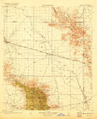
1917 · San Simon
USGS Topo · 1:125,000
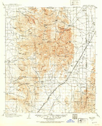
1917 · Chiricahua
USGS Topo · 1:125,000
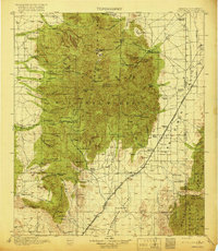
1919 · Chiricahua
USGS Topo · 1:125,000
1926 · Cochise Head
USGS Topo · 1:62,500
1926 · Rodeo
USGS Topo · 1:62,500
1926 · Rucker
USGS Topo · 1:62,500
1928 · Chenoweth
USGS Topo · 1:62,500
1950 · Cochise Head
USGS Topo · 1:62,500
1950 · Vanar
USGS Topo · 1:62,500
1951 · Vanar
USGS Topo · 1:62,500