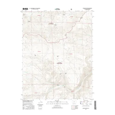
2016 Map of Saguache Park
USGS Topo · Published 2016About this map
The Continental Divide defines the northern high ground of this Saguache County landscape, marking the hydrological boundary between the Gunnison National Forest and the Rio Grande National Forest. The terrain is characterized by a complex network of high-altitude drainages, including Monchego Cr and W Fork Buck Park Cr in the north, which give way to the more open reaches of Saguache Park in the south. The transition from the high Cochetopa Hills down to the valley floor is punctuated by landmarks such as Chimney Rock and Rincon Quemado.
Find a feature on this map
34 named features on this map. Tap any name to fly to it.
Don’t see what you’re looking for? This feature index may not catch every label — zoom into the map to look around manually.
Map Details
Editions of this 2016 Saguache Park Map
This is the sole edition of this map. No revisions or reprints were ever made.
Other maps of this area

1914 · Creede
USGS Topo · 1:125,000

1916 · Creede
USGS Topo · 1:125,000

1945 · Durango
USGS Topo · 1:250,000

1953 · Durango
USGS Topo · 1:250,000

1954 · Durango
USGS Topo · 1:250,000

1956 · Montrose
USGS Topo · 1:250,000

1959 · Montrose
USGS Topo · 1:250,000

1959 · Creede
USGS Topo · 1:62,500

1960 · Montrose
USGS Topo · 1:250,000

1961 · Durango
USGS Topo · 1:250,000