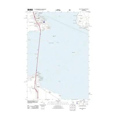
2011 Map of Saint Ignace
USGS Topo · Published 2011About this map
The Straits of Mackinac anchor this coastal landscape, where the iconic Mackinac Bridge serves as the vital artery connecting the Upper and Lower Peninsulas. This maritime hub is defined by its transit history, with numerous ferry lines including the Arnold Transit Company, Shepler's Mackinac Island Ferry, and the Star Line Mackinac Island Ferry operating out of Saint Ignace. On the northern shore, the Father Marquette National Memorial and the Saint Ignace Cemetery provide deep historical roots for the community.
Find a feature on this map
59 named features on this map. Tap any name to fly to it.
Don’t see what you’re looking for? This feature index may not catch every label — zoom into the map to look around manually.
Map Details
Editions of this 2011 Saint Ignace Map
This is the sole edition of this map. No revisions or reprints were ever made.
Other maps of this area

1931 · St Ignace NW
USGS Topo · 1:31,680

1931 · Moran NE
USGS Topo · 1:31,680

1932 · St Ignace NE
USGS Topo · 1:31,680

1948 · Moran NE
USGS Topo · 1:31,680

1955 · Cheboygan
USGS Topo · 1:250,000

1957 · Mullett Lake
USGS Topo · 1:62,500

1958 · Cheboygan
USGS Topo · 1:250,000

1958 · Pellston
USGS Topo · 1:62,500
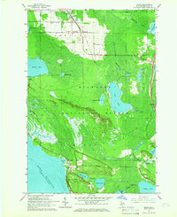
1964 · Moran
USGS Topo · 1:24,000

1964 · Round Island
USGS Topo · 1:24,000
Featured Places
- Saint Ignace, MI
- Mackinaw City, MI
- Mackinac Island, MI
- Edgewater Beach, Mackinaw City
- Wawatam Township, MI