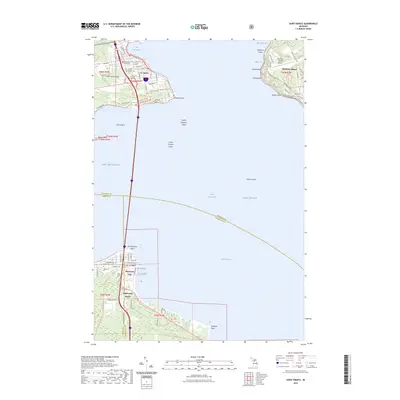
2023 Map of Saint Ignace
USGS Topo · Published 2023About this map
St. Ignace and Mackinaw City anchor this modern study of the northern and southern shores of the Straits of Mackinac. The map detail traces the critical transport and infrastructure links where Lake Michigan meets Lake Huron, including the prominent lighthouse site at Old Mackinac Point and the busy terminal area of St. Ignace. To the east, the western edge of Mackinac Island is visible, featuring the Mackinac Island Airport and various coastal points such as Radisson Point and Jacker Point.
Find a feature on this map
64 named features on this map. Tap any name to fly to it.
Don’t see what you’re looking for? This feature index may not catch every label — zoom into the map to look around manually.
Map Details
Editions of this 2023 Saint Ignace Map
This is the sole edition of this map. No revisions or reprints were ever made.
Other maps of this area

1931 · St Ignace NW
USGS Topo · 1:31,680

1931 · Moran NE
USGS Topo · 1:31,680

1932 · St Ignace NE
USGS Topo · 1:31,680

1948 · Moran NE
USGS Topo · 1:31,680

1955 · Cheboygan
USGS Topo · 1:250,000

1957 · Mullett Lake
USGS Topo · 1:62,500

1958 · Cheboygan
USGS Topo · 1:250,000

1958 · Pellston
USGS Topo · 1:62,500
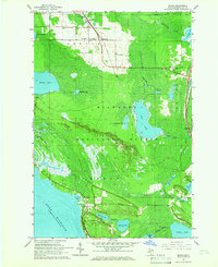
1964 · Moran
USGS Topo · 1:24,000

1964 · Round Island
USGS Topo · 1:24,000