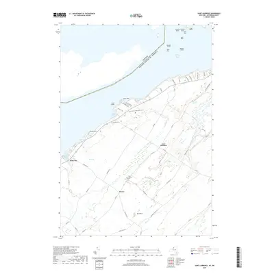
2019 Map of Saint Lawrence
USGS Topo · Published 2019About this map
The Saint Lawrence River shoreline and the international border between Canada and the United States define this coastal landscape in Jefferson County. Several islands, including Whiskey Island, Papoose Island, and Club Island, sit just off the mainland, while the interior is marked by small settlements and family farms. The hamlet of Saint Lawrence serves as a local crossroads, supported by nearby Warren and the waterfront community at Millen Bay.
Find a feature on this map
64 named features on this map. Tap any name to fly to it.
Don’t see what you’re looking for? This feature index may not catch every label — zoom into the map to look around manually.
Map Details
Editions of this 2019 Saint Lawrence Map
This is the sole edition of this map. No revisions or reprints were ever made.
Other maps of this area

1895 · Cape Vincent
USGS Topo · 1:62,500

1900 · Clayton
USGS Topo · 1:62,500

1903 · Grindstone
USGS Topo · 1:62,500

1903 · Clayton
USGS Topo · 1:62,500

1942 · Cape Vincent North
USGS Topo · 1:31,680

1942 · Chaumont
USGS Topo · 1:31,680

1942 · Sawmill Bay
USGS Topo · 1:31,680

1942 · Cape Vincent South
USGS Topo · 1:31,680

1942 · Clayton
USGS Topo · 1:24,000
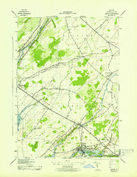
1943 · Dexter
USGS Topo · 1:31,680