Loading...
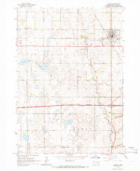
Loading map...1964 Map of Salem
USGS Topo · Published 1966About this map
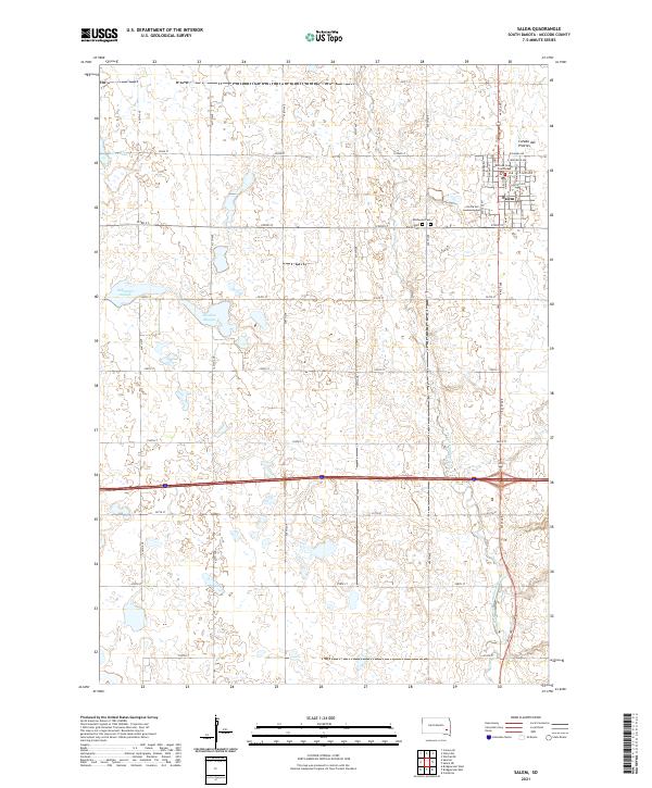
Salem serves as the focal point of this mid-1960s survey, situated at the junction of the Chicago and North Western railroad. The town is flanked by historic burial grounds, including St Marys Cem and Wildwood Cem. The surrounding McCook County prairie is defined by its drainage into the West Fork Vermillion River, which meanders through a landscape dotted with numerous gravel pits and glacial depressions.
Find a feature on this map
19 named features on this map. Tap any name to fly to it.
Don’t see what you’re looking for? This feature index may not catch every label — zoom into the map to look around manually.
Map Details
Date Portrayed1964
Date Published1966
PublisherU.S. Geological Survey
Map TypeTopographic
Scale1:24,000
Physical Dimensions22 x 26.8 inches
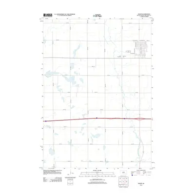
Editions of this 1964 Salem Map
This is the sole edition of this map. No revisions or reprints were ever made.
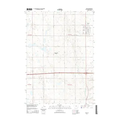
Historical Maps of Salem Through Time
6 maps found

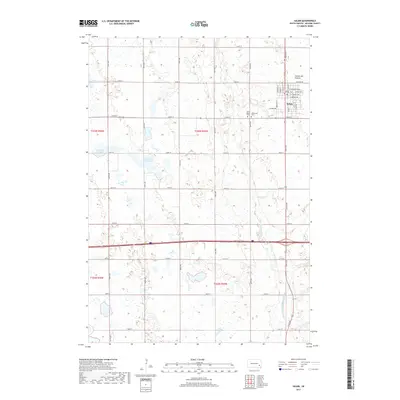
Featured Locations
- Jefferson Township, SD
- Benton Township, SD
- Emery Township, SD
- Goldenview Hutterite Colony, Salem Township
- Salem, Salem Township
Source Details
SourceU.S. Geological Survey
CopyrightPublic Domain