2022 Map of San Marcos
USGS Topo · Published 2022About this map
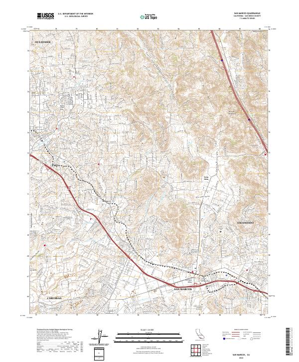
The northern San Diego County foothills define the landscape of this 2022 survey, showcasing a complex network of higher education and modern transit infrastructure. San Marcos serves as a central educational hub, anchored by California State University San Marcos and Palomar College, along with specialized institutions like the University of Saint Augustine for Health Sciences. The Sprinter rail line runs through the valley, connecting the residential and commercial corridors between Vista and Escondido. To the north and east, the terrain rises sharply into the San Marcos Mountains and Merriam Mountains, with deep drainage features such as South Fork Gopher Canyon and Moosa Canyon cutting through the uplands. Near the eastern edge, the San Marcos Cem provides a point of genealogical interest, while the western portion of the map covers the suburban reaches of Oceanside and Carlsbad near Buena Vista Hills.
Find a feature on this map
262 named features on this map. Tap any name to fly to it.
Don’t see what you’re looking for? This feature index may not catch every label — zoom into the map to look around manually.
Map Details
Editions of this 2022 San Marcos Map
This is the sole edition of this map. No revisions or reprints were ever made.
Historical Maps of Escondido Through Time
5 maps found