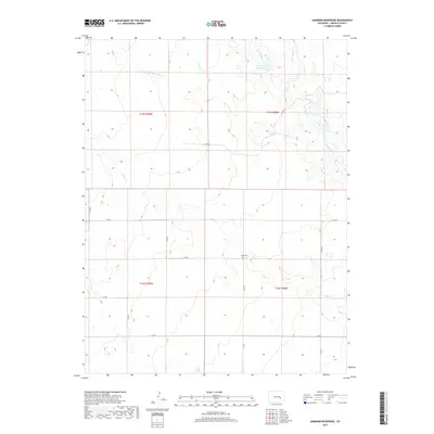
2019 Map of Sanborn Reservoir
USGS Topo · Published 2019About this map
Sanborn Reservoir serves as a central hydrological point in this corner of Lincoln County, where the high plains landscape is defined by the ephemeral flow of prairie streams and man-made irrigation. The map reveals a network of drainages including W Br Steels Fork Horse Cr and Steels Fork, illustrating the critical role of water management in this arid region. Culturally, the presence of the Rube Cem provides a specific point of interest for genealogists tracing early families in the area. The local transportation framework is clearly established through a grid of county roads, such as Co RD 10 and Co RD M, which navigate the township and range boundaries. This survey highlights the intersection of natural drainage systems like Pond Cr with agricultural engineering, notably seen in the Douglas Ditch.
Find a feature on this map
21 named features on this map. Tap any name to fly to it.
Don’t see what you’re looking for? This feature index may not catch every label — zoom into the map to look around manually.
Map Details
Editions of this 2019 Sanborn Reservoir Map
This is the sole edition of this map. No revisions or reprints were ever made.
Other maps of this area

1889 · Sanborn
USGS Topo · 1:125,000

1891 · Sanborn
USGS Topo · 1:125,000

1893 · Sanborn
USGS Topo · 1:125,000

1893 · Big Springs
USGS Topo · 1:125,000

1954 · Lamar
USGS Topo · 1:250,000

1954 · Pueblo
USGS Topo · 1:250,000

1957 · Pueblo
USGS Topo · 1:250,000

1958 · Pueblo
USGS Topo · 1:250,000

1958 · Lamar
USGS Topo · 1:250,000

1962 · Pueblo
USGS Topo · 1:250,000