2000 Map of Sanbornville
USGS Topo · Published 2001About this map
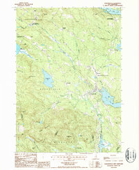
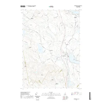
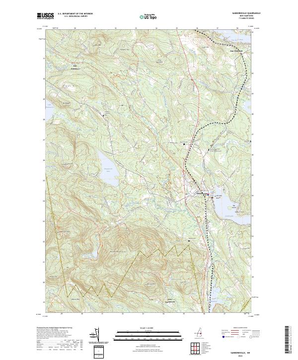
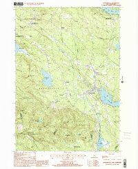
Sanbornville serves as a central hub in this survey of eastern Carroll County, where the landscape is defined by its transition from industrial rail settlements to protected wilderness. The map documents the dual identities of villages like East Wolfeboro and East Wakefield, where the parenthetical station names preserve the memory of the area's railroad heritage. To the west, the Governor Wentworth State Farm and the Copple Crown State Conservation Area mark significant tracts of public land. The southern reaches are dominated by the Moose Mountains, while the eastern border is shaped by water, including Lake Lowell and the sprawling Union Meadows along the Branch River. Numerous small cemeteries marked simply as Cem are scattered across the townships of Brookfield and Wakefield, offering a clear look at the historical distribution of rural homesteads before the turn of the millennium.
Find a feature on this map
57 named features on this map. Tap any name to fly to it.
Don’t see what you’re looking for? This feature index may not catch every label — zoom into the map to look around manually.
Map Details
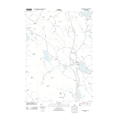
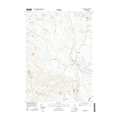
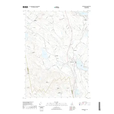
Editions of this 2000 Sanbornville Map
This is the sole edition of this map. No revisions or reprints were ever made.
Historical Maps of Wakefield Through Time
7 maps found