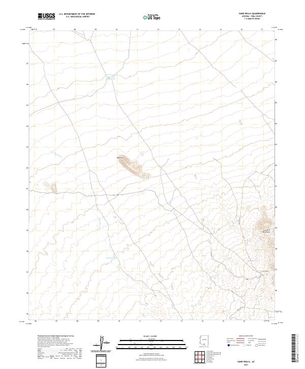
2021 Map of Sand Wells
USGS Topo · Published 2021About this map
Sand Wells serves as a primary reference point in this desert landscape, where water management is central to the local geography. The presence of Standing Bar Tank and Pad Wo'o Tank indicates a reliance on seasonal or managed water sources in an environment otherwise defined by ephemeral features like the Ko Vaya Wash. The terrain is characterized by significant elevations such as Black Mtn and the eastern slopes of the Comobari Mountains, which dictate the movement of both water and transit. Transportation through this part of the Sonoran Desert is anchored by Indian Rte 34, which cuts through the southern sections of the survey. This 2021 update from the U.S. Geological Survey provides a modern record of land divisions and the enduring landmarks of this rural Arizona region.
Find a feature on this map
13 named features on this map. Tap any name to fly to it.
Don’t see what you’re looking for? This feature index may not catch every label — zoom into the map to look around manually.
Map Details
Editions of this 2021 Sand Wells Map
This is the sole edition of this map. No revisions or reprints were ever made.
Other maps of this area

1934 · Silver Bell
USGS Topo · 1:125,000

1937 · Comobabi
USGS Topo · 1:48,000

1942 · Comobabi
USGS Topo · 1:62,500

1953 · Ajo
USGS Topo · 1:250,000

1956 · Tucson
USGS Topo · 1:250,000

1957 · Ajo
USGS Topo · 1:250,000

1958 · Ajo
USGS Topo · 1:250,000

1958 · Tucson
USGS Topo · 1:250,000

1959 · Tucson
USGS Topo · 1:250,000

1962 · Ajo
USGS Topo · 1:250,000