2022 Map of Sandia
USGS Topo · Published 2022About this map
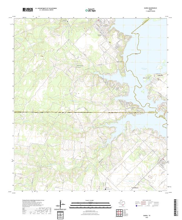
The western shores of Lake Corpus Christi define this area of South Texas, where the boundaries of Live Oak, San Patricio, and Jim Wells counties meet. The landscape is a network of watercourses and elevation changes, from the prominent Millers Bluff and Pernitas Point to the drainages of Barbone Cr and Penitas Cr. Residential developments such as Lake City and the Byer Addition sit alongside older community landmarks, including the Lagarto Cem and Wade Cem. The southern portion of the map is anchored by the settlement of Casa Blanca, while Arrowhead Airport serves the northern plateau. This modern topographic record captures the transition from open ranchland, like the Findly Ranch, to the structured residential lanes of the Carmel Hills.
Find a feature on this map
111 named features on this map. Tap any name to fly to it.
Don’t see what you’re looking for? This feature index may not catch every label — zoom into the map to look around manually.
Map Details
Editions of this 2022 Sandia Map
This is the sole edition of this map. No revisions or reprints were ever made.
Historical Maps of Pernitas Point Through Time

Featured Locations
- Hodges Addition Colonia, TX
- Casa Blanca, TX
- John L Norris Colonia, TX
- Norris Tract Number 2 Colonia, TX
- Lake City, TX