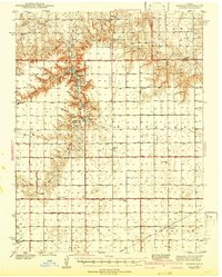
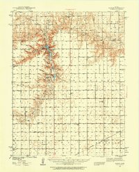
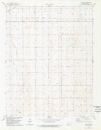
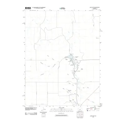
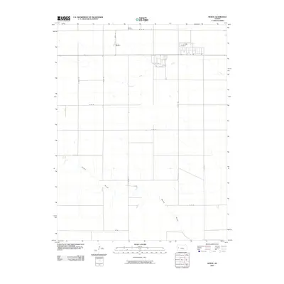
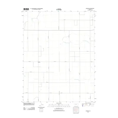
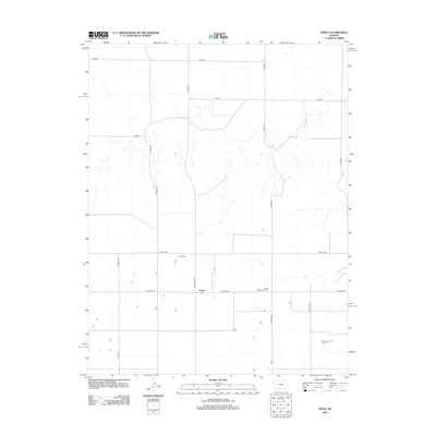
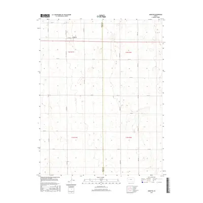
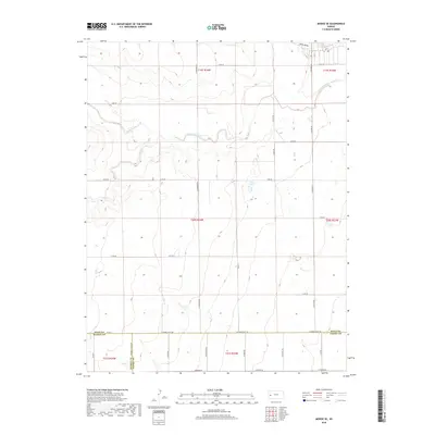
1942 Map of Sandon
USGS Topo · Published 1942About this map
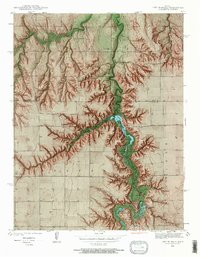
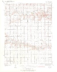
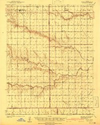
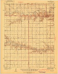
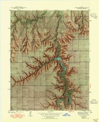
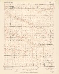
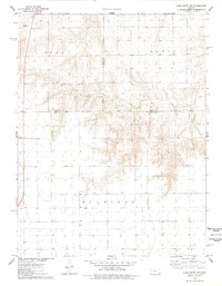
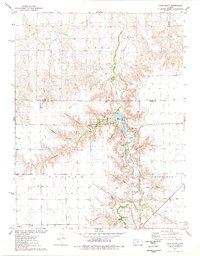
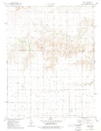
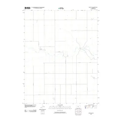
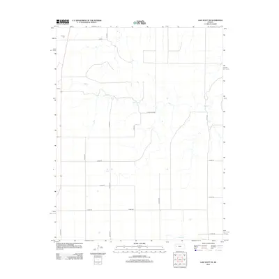
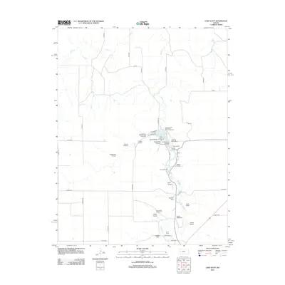
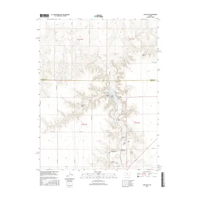
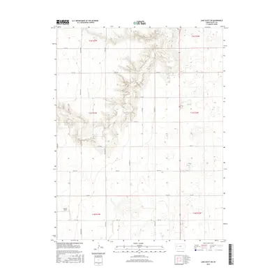
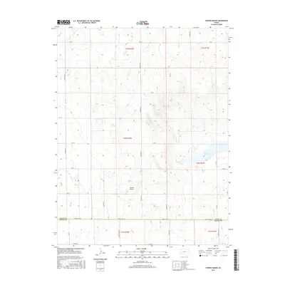
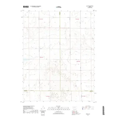
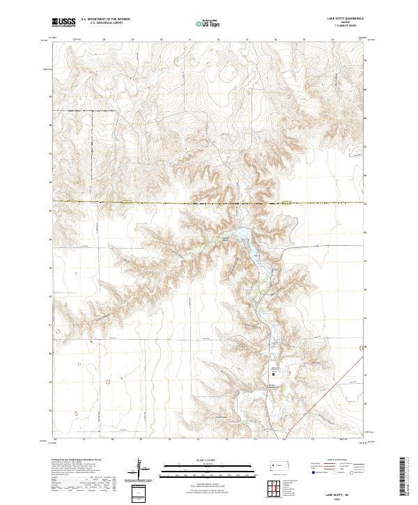
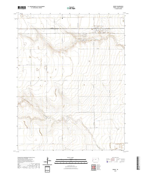
Scott County State Park serves as the focal point of this western Kansas landscape, where the deeply carved canyons of Ladder Creek break the surrounding plains. The presence of the Pueblo Ruins Monument and the Mc Bride Monument near Lake McBride highlights the area's archaeological and commemorative significance during the late 1930s. This survey, conducted by Elmer Elshire and H. S. Hall, documents a transition from the rugged drainage systems of Christy Canyon and Bettendorf Canyon to the organized township grids.
Find a feature on this map
41 named features on this map. Tap any name to fly to it.
Don’t see what you’re looking for? This feature index may not catch every label — zoom into the map to look around manually.
Map Details
Editions of this 1942 Sandon Map
This is the sole edition of this map. No revisions or reprints were ever made.
Historical Maps of Logan County Through Time
86 maps found
1939 Lake Mc Bride
Scott County, KS
1939 Pence
Scott County, KS
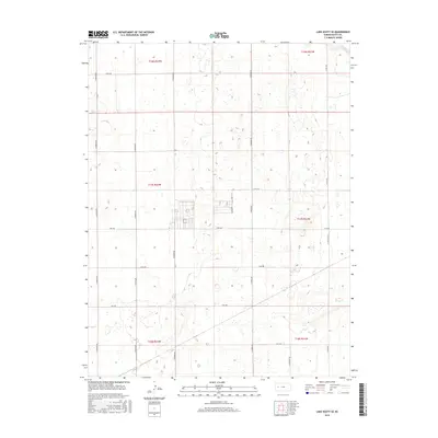
1939 Sandon
Scott County, KS
1941 Modoc
Scott County, KS
1941 Pence
Scott County, KS
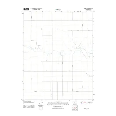
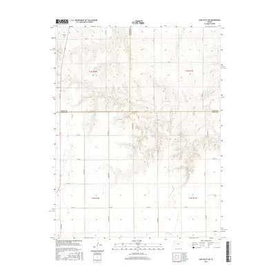
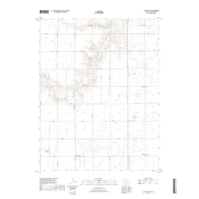
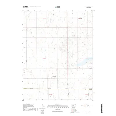
1942 Lake Mc Bride
Scott County, KS
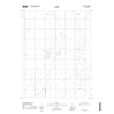
1942 Sandon
Scott County, KS
1951 Modoc
Scott County, KS
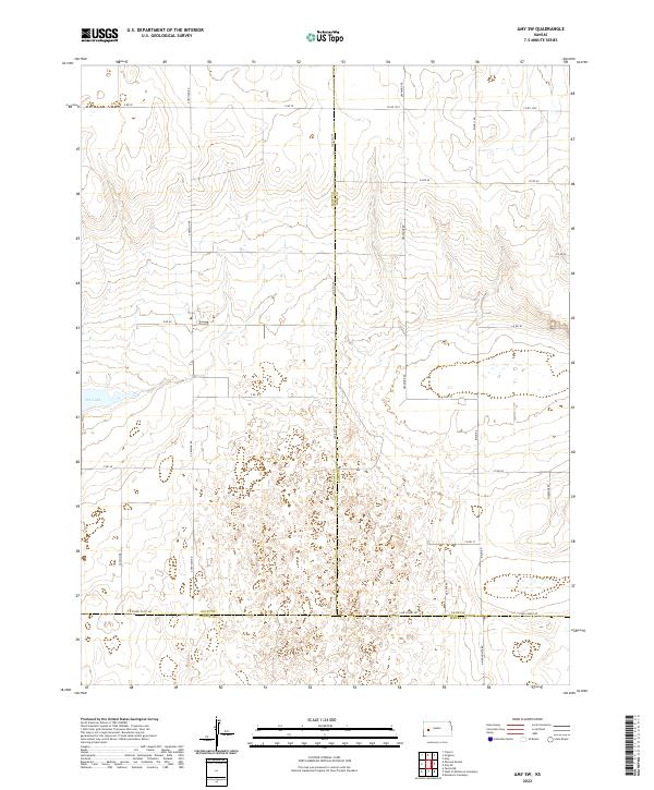
1974 Amy SW
Scott County, KS
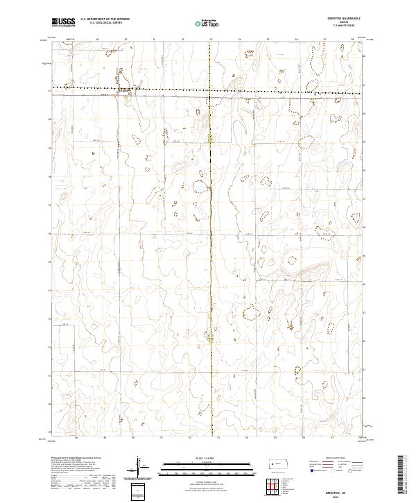
1974 Grigston
Scott County, KS
1974 Manning
Scott County, KS
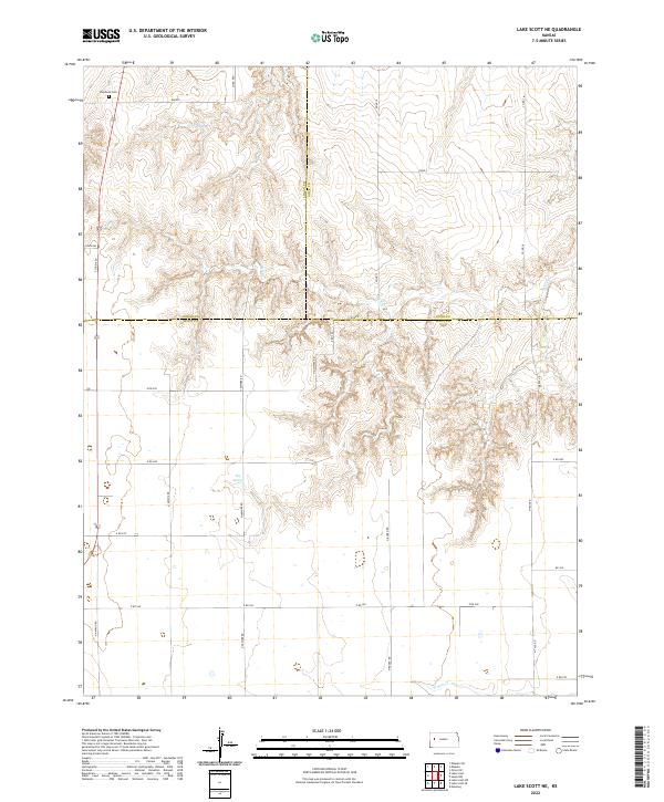
1976 Lake Scott NE
Scott County, KS
1976 Lake Scott
Scott County, KS
1976 Modoc
Scott County, KS
1976 Modoc SE
Scott County, KS
1976 Pawnee Mound
Scott County, KS
1976 Pence
Scott County, KS
1978 Lake Scott SE
Scott County, KS
1978 Lake Scott SW
Scott County, KS
1978 Pence SE
Scott County, KS
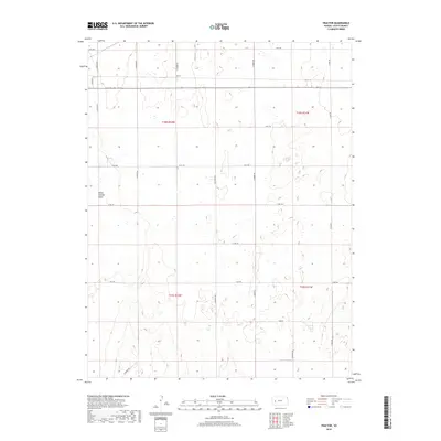
1978 Tractor
Scott County, KS
2009 Amy SW
Scott County, KS
2009 Grigston
Scott County, KS
2009 Lake Scott NE
Scott County, KS
2009 Lake Scott
Scott County, KS
2009 Lake Scott SE
Scott County, KS
2009 Lake Scott SW
Scott County, KS
2009 Manning
Scott County, KS
2009 Modoc
Scott County, KS
2009 Modoc SE
Scott County, KS
2009 Pawnee Mound
Scott County, KS
2009 Pence
Scott County, KS
2009 Pence SE
Scott County, KS
2009 Tractor
Scott County, KS
2012 Amy SW
Scott County, KS
2012 Grigston
Scott County, KS
2012 Lake Scott NE
Scott County, KS
2012 Lake Scott
Scott County, KS
2012 Lake Scott SE
Scott County, KS
2012 Lake Scott SW
Scott County, KS
2012 Manning
Scott County, KS
2012 Modoc
Scott County, KS
2012 Modoc SE
Scott County, KS
2012 Pawnee Mound
Scott County, KS
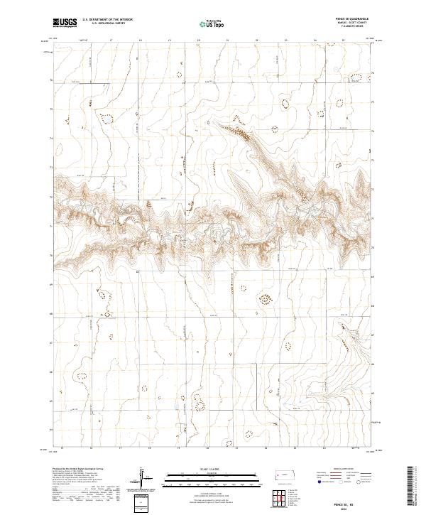
2012 Pence
Scott County, KS
2012 Pence SE
Scott County, KS
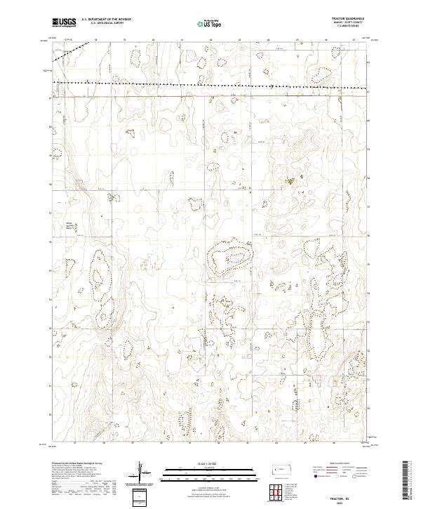
2012 Tractor
Scott County, KS
2015 Amy SW
Scott County, KS
2015 Grigston
Scott County, KS
2015 Lake Scott NE
Scott County, KS
2015 Lake Scott
Scott County, KS
2015 Lake Scott SE
Scott County, KS
2015 Lake Scott SW
Scott County, KS
2015 Manning
Scott County, KS
2015 Modoc
Scott County, KS
2015 Modoc SE
Scott County, KS
2015 Pawnee Mound
Scott County, KS
2015 Pence
Scott County, KS
2015 Pence SE
Scott County, KS
2015 Tractor
Scott County, KS
2018 Amy SW
Scott County, KS
2018 Grigston
Scott County, KS
2018 Lake Scott NE
Scott County, KS
2018 Lake Scott
Scott County, KS
2018 Lake Scott SE
Scott County, KS
2018 Lake Scott SW
Scott County, KS
2018 Manning
Scott County, KS
2018 Modoc
Scott County, KS
2018 Modoc SE
Scott County, KS
2018 Pawnee Mound
Scott County, KS
2018 Pence
Scott County, KS
2018 Pence SE
Scott County, KS
2018 Tractor
Scott County, KS
2022 Amy SW
Scott County, KS
2022 Grigston
Scott County, KS
2022 Lake Scott NE
Scott County, KS
2022 Lake Scott
Scott County, KS
2022 Lake Scott SE
Scott County, KS
2022 Lake Scott SW
Scott County, KS
2022 Manning
Scott County, KS
2022 Modoc
Scott County, KS
2022 Modoc SE
Scott County, KS
2022 Pawnee Mound
Scott County, KS
2022 Pence
Scott County, KS
2022 Pence SE
Scott County, KS
2022 Tractor
Scott County, KS