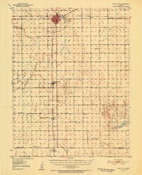
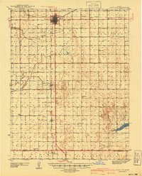
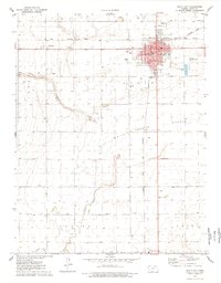
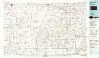
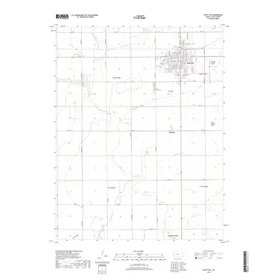
1951 Map of Scott City
USGS Topo · Published 1952About this map
Scott City serves as the central hub of this High Plains landscape, where the Atchison Topeka And Santa Fe and Missouri Pacific railroads intersect to drive the local agricultural economy. The surrounding terrain is defined by the broad Scott Basin and the winding course of Whitewoman Creek, which leads toward Rocky Draw. This 1951 revision documents a transitional period of industrial growth, evidenced by the Oil Refinery and an active Oil Field south of Shallow Water.
Find a feature on this map
24 named features on this map. Tap any name to fly to it.
Don’t see what you’re looking for? This feature index may not catch every label — zoom into the map to look around manually.
Map Details
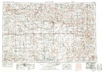
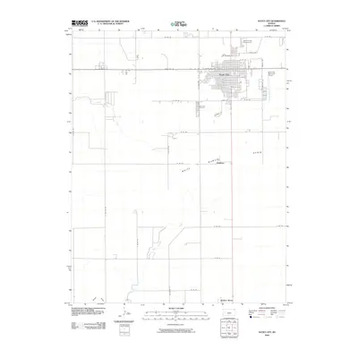
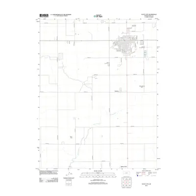
Editions of this 1951 Scott City Map
This is the sole edition of this map. No revisions or reprints were ever made.
Historical Maps of Scott City Through Time
11 maps found
1940 Scott City
Scott County, KS
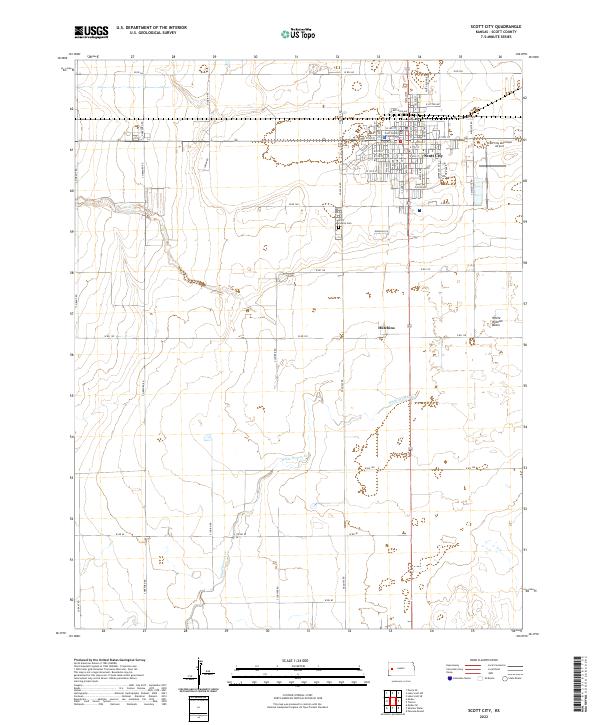
1951 Scott City
Scott County, KS
1955 Scott City
Scott County, KS

1958 Scott City
Scott County, KS
1976 Scott City
Scott County, KS
1985 Scott City
Scott County, KS
2009 Scott City
Scott County, KS
2012 Scott City
Scott County, KS
2015 Scott City
Scott County, KS
2018 Scott City
Scott County, KS
2022 Scott City
Scott County, KS