
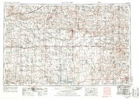
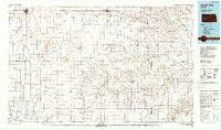
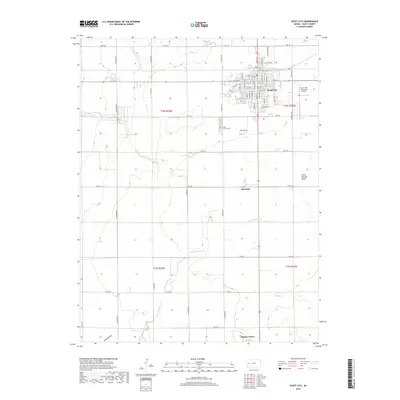
1958 Map of Scott City
USGS Topo · Published 1958About this map
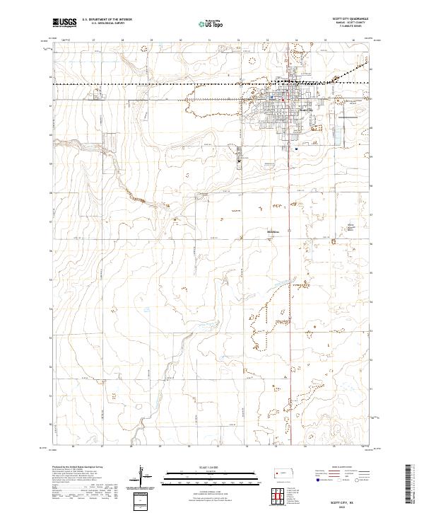
The Smoky Hill River and its various tributaries like Chalk Creek carve through the High Plains of western Kansas, where deep drainage patterns meet the level wheat country. Centered on Scott City, the landscape is defined by its strategic transportation corridors, where the Missouri Pacific and Atchison Topeka and Santa Fe railroads intersect. To the north, the Chalk Pyramids stand as a geological landmark in Gove County, illustrating the stark erosion of the Niobrara Formation.
Find a feature on this map
106 named features on this map. Tap any name to fly to it.
Don’t see what you’re looking for? This feature index may not catch every label — zoom into the map to look around manually.
Map Details
Editions of this 1958 Scott City Map
This is the sole edition of this map. No revisions or reprints were ever made.
Historical Maps of Garden City Through Time
11 maps found
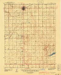
1940 Scott City
Scott County, KS
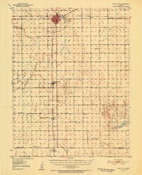
1951 Scott City
Scott County, KS
1955 Scott City
Scott County, KS
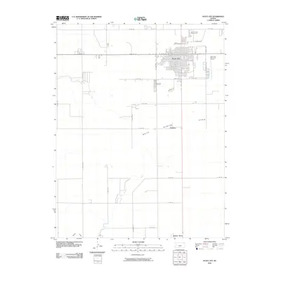
1958 Scott City
Scott County, KS
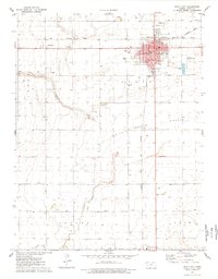
1976 Scott City
Scott County, KS
1985 Scott City
Scott County, KS
2009 Scott City
Scott County, KS
2012 Scott City
Scott County, KS
2015 Scott City
Scott County, KS
2018 Scott City
Scott County, KS
2022 Scott City
Scott County, KS