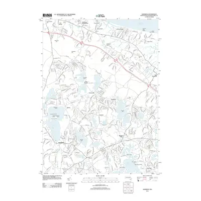
2012 Map of Sandwich
USGS Topo · Published 2012About this map
Old Quaker Meetinghouse and the Massachusetts State Fish Hatchery stand as prominent landmarks in this detailed study of the upper Cape. The landscape is defined by its glacial kettle ponds and coastal features, stretching from Scorton Neck Beach on the Atlantic shore down through the interior settlements of Farmersville, Newtown, and Marstons Mills. The transition from the northern marshes of Plowed Neck to the southern waters of Mashpee Pond and the Santuit River is clearly mapped, illustrating the dense network of local roads and established neighborhoods like The Springs and Santuit.
Find a feature on this map
93 named features on this map. Tap any name to fly to it.
Don’t see what you’re looking for? This feature index may not catch every label — zoom into the map to look around manually.
Map Details
Editions of this 2012 Sandwich Map
This is the sole edition of this map. No revisions or reprints were ever made.
Other maps of this area

1886 · Falmouth
USGS Topo · 1:62,500

1886 · Plymouth
USGS Topo · 1:62,500

1888 · Barnstable
USGS Topo · 1:62,500

1888 · Falmouth
USGS Topo · 1:62,500

1889 · Plymouth
USGS Topo · 1:62,500

1893 · Barnstable
USGS Topo · 1:62,500

1893 · Falmouth
USGS Topo · 1:62,500

1894 · Plymouth
USGS Topo · 1:62,500

1915 · Falmouth
USGS Topo · 1:62,500

1920 · Falmouth
USGS Topo · 1:62,500