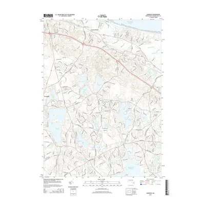
2015 Map of Sandwich
USGS Topo · Published 2015About this map
East Sandwich and the surrounding coastal landscape are defined by a complex network of glacial kettle ponds and small waterways leading toward Cotuit Bay and the Atlantic. The interior is densely pocketed with named water bodies such as Spectacle Pond, Lawrence Pond, and the Hog Ponds, reflecting the terminal moraine geology of the Upper Cape. These ponds are interspersed with residential clusters at Forestdale and established transportation corridors including RT-6a and RT-130.
Find a feature on this map
47 named features on this map. Tap any name to fly to it.
Don’t see what you’re looking for? This feature index may not catch every label — zoom into the map to look around manually.
Map Details
Editions of this 2015 Sandwich Map
This is the sole edition of this map. No revisions or reprints were ever made.
Other maps of this area

1886 · Falmouth
USGS Topo · 1:62,500

1886 · Plymouth
USGS Topo · 1:62,500

1888 · Barnstable
USGS Topo · 1:62,500

1888 · Falmouth
USGS Topo · 1:62,500

1889 · Plymouth
USGS Topo · 1:62,500

1893 · Barnstable
USGS Topo · 1:62,500

1893 · Falmouth
USGS Topo · 1:62,500

1894 · Plymouth
USGS Topo · 1:62,500

1915 · Falmouth
USGS Topo · 1:62,500

1920 · Falmouth
USGS Topo · 1:62,500