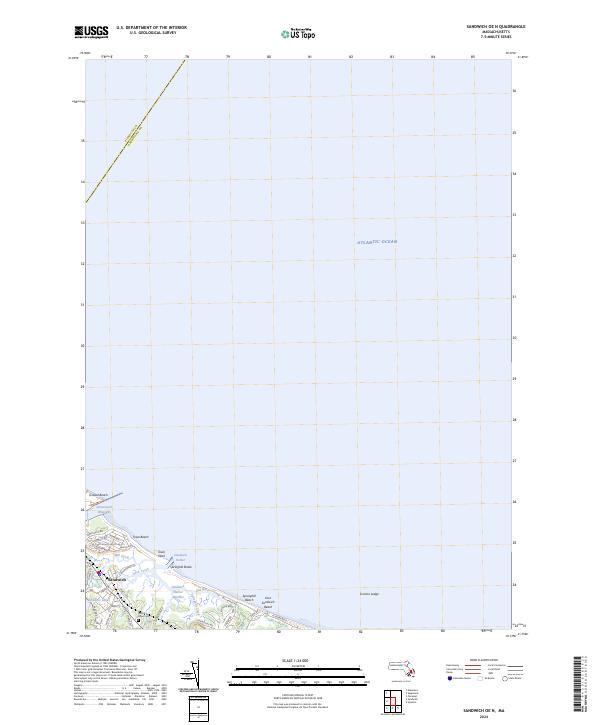
2024 Map of Sandwich OE N
USGS Topo · Published 2024About this map
Sandwich anchors the southwestern corner of this coastal survey, where the terrestrial landscape meets the expansive Atlantic Ocean. The town's historical layout is defined by its proximity to water, with Shawme Lake and Sandwich Harbor framing the residential core. Significant wetland systems like the Sandwich Harbor Marshes and tidal features such as Old Harbor Creek and Mill Creek illustrate the complex drainage patterns that have shaped local development.
Find a feature on this map
40 named features on this map. Tap any name to fly to it.
Don’t see what you’re looking for? This feature index may not catch every label — zoom into the map to look around manually.
Map Details
Editions of this 2024 Sandwich OE N Map
This is the sole edition of this map. No revisions or reprints were ever made.
Other maps of this area

1886 · Falmouth
USGS Topo · 1:62,500

1886 · Plymouth
USGS Topo · 1:62,500

1888 · Barnstable
USGS Topo · 1:62,500

1888 · Falmouth
USGS Topo · 1:62,500

1889 · Plymouth
USGS Topo · 1:62,500

1893 · Barnstable
USGS Topo · 1:62,500

1893 · Falmouth
USGS Topo · 1:62,500

1894 · Plymouth
USGS Topo · 1:62,500

1915 · Falmouth
USGS Topo · 1:62,500

1920 · Falmouth
USGS Topo · 1:62,500