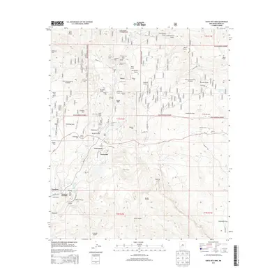
2013 Map of Santa Rita Mine
USGS Topo · Published 2013About this map
The Santa Rita Mine dominates the central landscape of this Grant County region, surrounded by a complex network of mining infrastructure and small settlements. The industrial character of the area is defined by numerous subsurface features including the Davidson Tunnel, Snowflake Tunnel, and Union Hill Portal. These workings supported a cluster of communities tied to the mineral wealth of the Pinos Altos Range, with housing and commerce concentrated in Fierro, Hanover, and Turnerville.
Find a feature on this map
85 named features on this map. Tap any name to fly to it.
Don’t see what you’re looking for? This feature index may not catch every label — zoom into the map to look around manually.
Map Details
Editions of this 2013 Santa Rita Mine Map
This is the sole edition of this map. No revisions or reprints were ever made.
Other maps of this area

1909 · Silver City
USGS Topo · 1:125,000

1937 · Santa Rita
USGS Topo · 1:24,000

1947 · Allie Canyon
USGS Topo · 1:24,000

1947 · Twin Sisters
USGS Topo · 1:24,000

1947 · Fort Bayard
USGS Topo · 1:24,000

1948 · Twin Sisters
USGS Topo · 1:24,000

1948 · Santa Rita
USGS Topo · 1:24,000

1948 · Allie Canyon
USGS Topo · 1:24,000

1948 · Hurley East
USGS Topo · 1:24,000

1949 · Fort Bayard
USGS Topo · 1:24,000