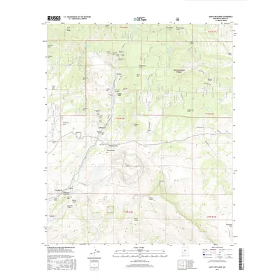
2017 Map of Santa Rita Mine
USGS Topo · Published 2017About this map
The Santa Rita Mine anchors this industrial landscape, where copper and zinc extraction has shaped the terrain of Grant County for generations. A network of subterranean infrastructure is mapped through numerous portals, including the Gilchrist Tunnel, Dewey Tunnel, and the United States Tunnel located near Zinc Hill. The map documents the close relationship between the mining operations and the company towns or worker settlements that grew around them, such as Fierro, Hanover, and Turnerville.
Find a feature on this map
84 named features on this map. Tap any name to fly to it.
Don’t see what you’re looking for? This feature index may not catch every label — zoom into the map to look around manually.
Map Details
Editions of this 2017 Santa Rita Mine Map
This is the sole edition of this map. No revisions or reprints were ever made.
Other maps of this area

1909 · Silver City
USGS Topo · 1:125,000

1937 · Santa Rita
USGS Topo · 1:24,000

1947 · Allie Canyon
USGS Topo · 1:24,000

1947 · Twin Sisters
USGS Topo · 1:24,000

1947 · Fort Bayard
USGS Topo · 1:24,000

1948 · Twin Sisters
USGS Topo · 1:24,000

1948 · Santa Rita
USGS Topo · 1:24,000

1948 · Allie Canyon
USGS Topo · 1:24,000

1948 · Hurley East
USGS Topo · 1:24,000

1949 · Fort Bayard
USGS Topo · 1:24,000