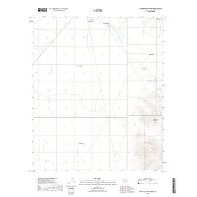
2018 Map of Santa Rosa Mountains NW
USGS Topo · Published 2018About this map
Santa Rosa Wash and Anegam Wash define the drainage patterns across this desert landscape in the Sif Oidak District. The terrain shifts from broad alluvial plains in the west to the prominent peaks of the Santa Rosa Mountains and the Slate Mountains in the east. High points such as Komelik Mtn and Owls Nest Mtn stand as distinct landmarks above the desert floor, while the Komelik Pass provides a natural corridor through the higher elevations. This 2018 survey by the U.S. Geological Survey documents the seasonal hydrography and township boundaries, including Sil Nakya Wash, illustrating the characteristic topography of the Sonoran Desert in Pima County before further development or environmental shifts.
Find a feature on this map
12 named features on this map. Tap any name to fly to it.
Don’t see what you’re looking for? This feature index may not catch every label — zoom into the map to look around manually.
Map Details
Editions of this 2018 Santa Rosa Mountains NW Map
This is the sole edition of this map. No revisions or reprints were ever made.
Other maps of this area

1934 · Silver Bell
USGS Topo · 1:125,000

1941 · Vekol Mountains
USGS Topo · 1:62,500

1942 · Silver Reef Mountains
USGS Topo · 1:62,500

1942 · Vekol Mountains
USGS Topo · 1:62,500

1953 · Ajo
USGS Topo · 1:250,000

1956 · Tucson
USGS Topo · 1:250,000

1957 · Ajo
USGS Topo · 1:250,000

1958 · Ajo
USGS Topo · 1:250,000

1958 · Tucson
USGS Topo · 1:250,000

1959 · Tucson
USGS Topo · 1:250,000