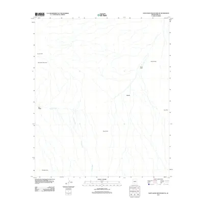
2011 Map of Santa Rosa Mountains SE
USGS Topo · Published 2011About this map
The Santa Rosa Mountains dominate the western portion of this Pima County landscape, giving way to the expansive desert drainage systems of the Sif Oidak District. Small, localized settlements such as Hoi Oidak and Pipyak are positioned along the fringes of the highlands, where the topography transitions into the Pipyak Valley. This 2011 survey documents a complex network of seasonal watercourses, most notably the Sil Nakya Wash, which snakes through the terrain toward the Sil Nakya Hills. The map illustrates the geographical relationship between these mountain ranges and the adjacent Aguirre Valley to the east, anchored by landmarks like Gu Achi Peak. For those studying the tribal lands of southern Arizona, the document provides a clear view of the natural landmarks and scattered habitations that define the modern land-use patterns of the Tohono O'odham Nation.
Find a feature on this map
9 named features on this map. Tap any name to fly to it.
Don’t see what you’re looking for? This feature index may not catch every label — zoom into the map to look around manually.
Map Details
Editions of this 2011 Santa Rosa Mountains SE Map
This is the sole edition of this map. No revisions or reprints were ever made.
Other maps of this area

1934 · Silver Bell
USGS Topo · 1:125,000

1937 · Comobabi
USGS Topo · 1:48,000

1938 · San Vicente
USGS Topo · 1:62,500

1941 · San Vicente
USGS Topo · 1:62,500

1942 · San Vicente
USGS Topo · 1:62,500

1942 · Comobabi
USGS Topo · 1:62,500

1948 · San Vicente
USGS Topo · 1:62,500

1956 · Tucson
USGS Topo · 1:250,000

1958 · Tucson
USGS Topo · 1:250,000

1959 · Tucson
USGS Topo · 1:250,000