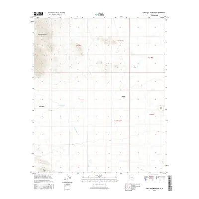
2014 Map of Santa Rosa Mountains SE
USGS Topo · Published 2014About this map
Hoi Oidak and Pipyak are the primary settlements within this desert landscape, situated in the arid expanse of the Sif Oidak District during the early 21st century. The topography is defined by the significant rise of the Santa Rosa Mountains in the northwest, which transition into the broad Pipyak Valley. The drainage system is dominated by the Sil Nakya Wash, a seasonal waterway that threads between the Sil Nakya Hills and the eastern Vaca Hills. The map reflects a landscape organized by traditional township and range divisions, such as t12s r5e and t13s r6e, which coordinate the sparse human footprint across this Sonoran terrain. The distribution of these labels suggests a reliance on the intermittent water flow from the washes and the sheltered positions near the mountain foothills for localized habitation.
Find a feature on this map
13 named features on this map. Tap any name to fly to it.
Don’t see what you’re looking for? This feature index may not catch every label — zoom into the map to look around manually.
Map Details
Editions of this 2014 Santa Rosa Mountains SE Map
This is the sole edition of this map. No revisions or reprints were ever made.
Other maps of this area

1934 · Silver Bell
USGS Topo · 1:125,000

1937 · Comobabi
USGS Topo · 1:48,000

1938 · San Vicente
USGS Topo · 1:62,500

1941 · San Vicente
USGS Topo · 1:62,500

1942 · San Vicente
USGS Topo · 1:62,500

1942 · Comobabi
USGS Topo · 1:62,500

1948 · San Vicente
USGS Topo · 1:62,500

1956 · Tucson
USGS Topo · 1:250,000

1958 · Tucson
USGS Topo · 1:250,000

1959 · Tucson
USGS Topo · 1:250,000