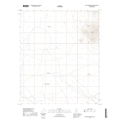
2018 Map of Santa Rosa Mountains SW
USGS Topo · Published 2018About this map
Makgum Havoka occupies the lower southern reaches of this Pima County landscape, where desert flats meet the dramatic western face of the Santa Rosa Mountains. The topography is defined by the sharp vertical rise of Gu Achi Peak in the east, which overlooks a vast network of ephemeral drainage systems that shape the arid basin below. These desert watercourses, including the wide paths of Sil Nakya Wash, Santa Rosa Wash, and Quijotoa Wash, dictate the natural movement of the terrain and the placement of local roads. The map illustrates a sparse settlement pattern characteristic of the Sif Oidak District, where human presence is clustered around the central Makgum Havoka area while the surrounding environment remains dominated by the stark relief of the mountain range and its alluvial fans.
Find a feature on this map
10 named features on this map. Tap any name to fly to it.
Don’t see what you’re looking for? This feature index may not catch every label — zoom into the map to look around manually.
Map Details
Editions of this 2018 Santa Rosa Mountains SW Map
This is the sole edition of this map. No revisions or reprints were ever made.
Other maps of this area

1934 · Silver Bell
USGS Topo · 1:125,000

1937 · Comobabi
USGS Topo · 1:48,000

1942 · Comobabi
USGS Topo · 1:62,500

1953 · Ajo
USGS Topo · 1:250,000

1956 · Tucson
USGS Topo · 1:250,000

1957 · Ajo
USGS Topo · 1:250,000

1958 · Ajo
USGS Topo · 1:250,000

1958 · Tucson
USGS Topo · 1:250,000

1959 · Tucson
USGS Topo · 1:250,000

1962 · Ajo
USGS Topo · 1:250,000