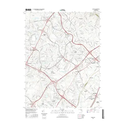
2016 Map of Savage
USGS Topo · Published 2016About this map
The Little Patuxent River and Middle Patuxent River define the suburban and industrial landscape of Howard and Anne Arundel counties in this modern topographic survey. The area transitions from the planned communities of Columbia, including neighborhoods like Oakland Mills and Jonestown, to the historic industrial core of Savage. Significant engineering landmarks are preserved here, most notably the Bollman Suspension and Trussed Bridge near the Baltimore and Ohio rail corridor.
Find a feature on this map
65 named features on this map. Tap any name to fly to it.
Don’t see what you’re looking for? This feature index may not catch every label — zoom into the map to look around manually.
Map Details
Editions of this 2016 Savage Map
This is the sole edition of this map. No revisions or reprints were ever made.
Other maps of this area

1892 · Laurel
USGS Topo · 1:62,500

1892 · Ellicott
USGS Topo · 1:62,500

1894 · Ellicott
USGS Topo · 1:62,500

1894 · Laurel
USGS Topo · 1:62,500

1894 · Baltimore
USGS Topo · 1:62,500

1894 · Relay
USGS Topo · 1:62,500

1897 · Laurel
USGS Topo · 1:62,500

1899 · Baltimore
USGS Topo · 1:62,500

1904 · Baltimore
USGS Topo · 1:62,500

1906 · Ellicott
USGS Topo · 1:62,500