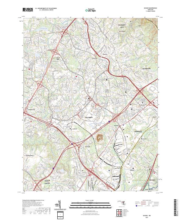
2023 Map of Savage
USGS Topo · Published 2023About this map
The Little Patuxent River and its tributaries carve through this developed corridor of central Maryland, where modern suburban planning meets deep-rooted local history. This 2023 survey showcases the planned communities around Columbia, including the residential clusters of Oakland Mills and Glenmar. The landscape is dotted with several significant burial grounds and parish landmarks, such as the Johns Evangelical Lutheran Cem and Saint Stephens Cem, which serve as vital touchstones for family historians.
Find a feature on this map
63 named features on this map. Tap any name to fly to it.
Don’t see what you’re looking for? This feature index may not catch every label — zoom into the map to look around manually.
Map Details
Editions of this 2023 Savage Map
This is the sole edition of this map. No revisions or reprints were ever made.
Other maps of this area

1892 · Laurel
USGS Topo · 1:62,500

1892 · Ellicott
USGS Topo · 1:62,500

1894 · Ellicott
USGS Topo · 1:62,500

1894 · Laurel
USGS Topo · 1:62,500

1894 · Baltimore
USGS Topo · 1:62,500

1894 · Relay
USGS Topo · 1:62,500

1897 · Laurel
USGS Topo · 1:62,500

1899 · Baltimore
USGS Topo · 1:62,500

1904 · Baltimore
USGS Topo · 1:62,500

1906 · Ellicott
USGS Topo · 1:62,500