Loading...
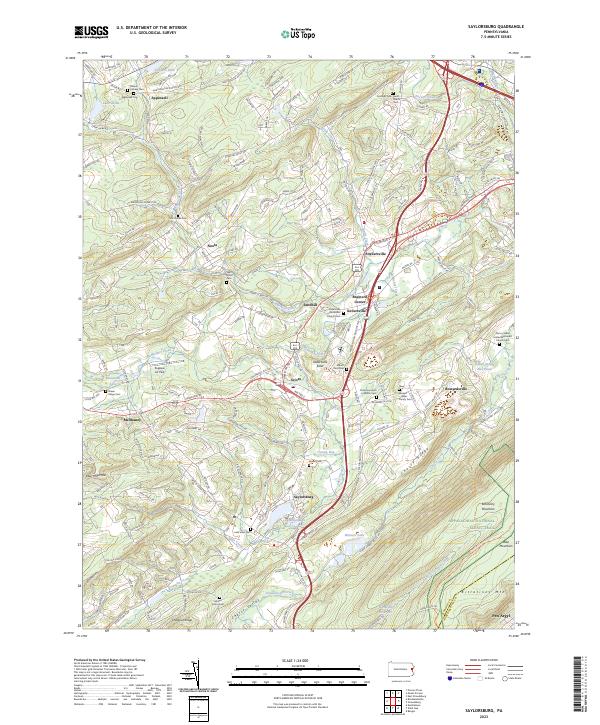
Loading map...2023 Map of Saylorsburg
USGS Topo · Published 2023About this map
Saylorsburg sits at the foot of Cherry Ridge, where the landscape transitions into the extensive Cherry Valley National Wildlife Refuge. This portion of Monroe County is defined by a dense network of local cemeteries and small crossroads settlements such as Sciota, Snydersville, and Kellersville. The presence of the Kellersville Esker indicates a complex glacial history, influencing the drainage patterns of McMichael Creek and Cherry Creek.
Find a feature on this map
165 named features on this map. Tap any name to fly to it.
Don’t see what you’re looking for? This feature index may not catch every label — zoom into the map to look around manually.
Map Details
Date Portrayed2023
Date Published2023
PublisherU.S. Geological Survey
Map TypeTopographic
Scale1:24000
Physical Dimensions24 x 29 inches
Editions of this 2023 Saylorsburg Map
This is the sole edition of this map. No revisions or reprints were ever made.
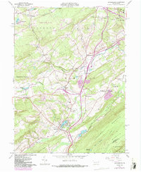
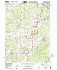
Historical Maps of Appenzell Through Time
4 maps found
Featured Locations
- Plainfield Township, PA
- Saylorsburg, PA
- Hamilton Township, PA
- Stroud Township, PA
- Chestnuthill Township, PA
Source Details
SourceU.S. Geological Survey
CopyrightPublic Domain