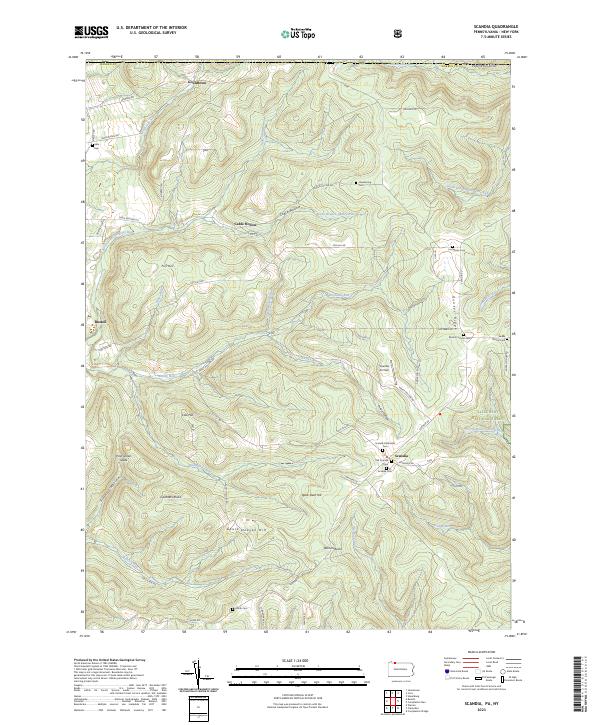
2023 Map of Scandia
USGS Topo · Published 2023About this map
Allegheny National Forest covers much of this landscape in Warren County, where the plateau is deeply carved by watercourses like Akeley Run and Hatch Run. The settlement of Scandia serves as a local hub, clustered with the Scandia Methodist Cem, Old Scandia Cem, and Scandia Cem. Higher elevations are defined by prominent ridges and hills, including Quaker Ridge, Fox Hill, and Goose Heaven Hill, while Gardners Rocks and Warren Rocks provide distinct geological landmarks.
Find a feature on this map
61 named features on this map. Tap any name to fly to it.
Don’t see what you’re looking for? This feature index may not catch every label — zoom into the map to look around manually.
Map Details
Editions of this 2023 Scandia Map
This is the sole edition of this map. No revisions or reprints were ever made.
Other maps of this area

1905 · Jamestown
USGS Topo · 1:62,500

1906 · Warren
USGS Topo · 1:62,500

1907 · Warren
USGS Topo · 1:62,500

1908 · Warren
USGS Topo · 1:62,500

1922 · Randolph
USGS Topo · 1:62,500

1923 · Randolph
USGS Topo · 1:62,500

1936 · Kinzua
USGS Topo · 1:48,000

1941 · Kinzua
USGS Topo · 1:62,500

1942 · Jamestown
USGS Topo · 1:62,500

1943 · Randolph
USGS Topo · 1:62,500