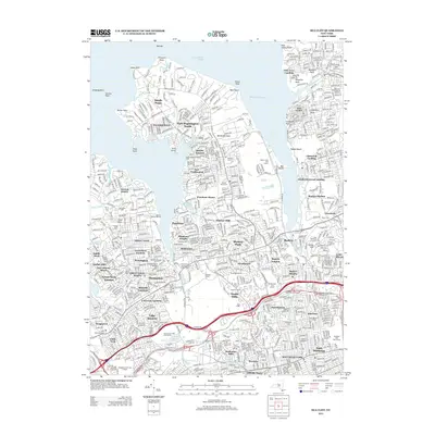
2013 Map of Sea Cliff
USGS Topo · Published 2013About this map
Manhasset Neck and the surrounding Gold Coast communities are documented here with exceptional precision. The landscape is defined by its wealthy residential enclaves and extensive institutional lands, including the Whitney Estate, Pulitzer Farms, and the Allan Estate. Inland, the map reveals a dense network of suburban development surrounding Port Washington and Manhasset, balanced by preservation areas like Clark Memorial Garden.
Find a feature on this map
93 named features on this map. Tap any name to fly to it.
Don’t see what you’re looking for? This feature index may not catch every label — zoom into the map to look around manually.
Map Details
Editions of this 2013 Sea Cliff Map
This is the sole edition of this map. No revisions or reprints were ever made.
Other maps of this area
1889 · Brooklyn
USGS Topo · 1:62,500
1891 · Brooklyn
USGS Topo · 1:62,500

1891 · Harlem
USGS Topo · 1:62,500

1897 · Harlem
USGS Topo · 1:62,500
1897 · Brooklyn
USGS Topo · 1:62,500
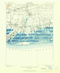
1897 · Hempstead
USGS Topo · 1:62,500

1897 · Oyster Bay
USGS Topo · 1:62,500

1898 · Harlem
USGS Topo · 1:62,500
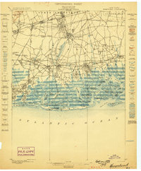
1898 · Hempstead
USGS Topo · 1:62,500
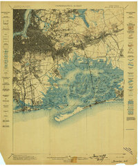
1898 · Brooklyn
USGS Topo · 1:62,500