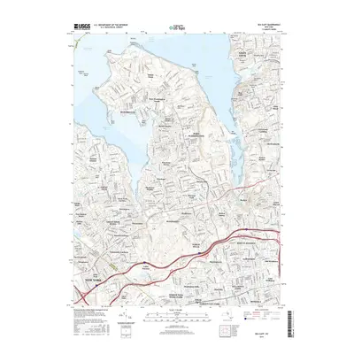
2016 Map of Sea Cliff
USGS Topo · Published 2016About this map
Manhasset Neck dominates this coastal survey, serving as the central landmass between the deep inlets of Manhasset Bay and Hempstead Harbor. The landscape is characterized by a dense network of residential villages and historic estates, reflecting the intensive suburban development of northern Nassau County in the early 21st century. Significant water bodies such as Lake Success and Whitney Lake dot the interior, while the shoreline is punctuated by prominent landmarks like Sands Point and Barker Point. Local history is preserved through numerous burial grounds, including the Nassau Knolls Cem and the Zion Episcopal Cem near the Queens border. Major transit arteries like the Northern State Pkwy and Grand Central Pkwy facilitate heavy movement through the area, bisecting communities such as North Hills and Searingtown.
Find a feature on this map
102 named features on this map. Tap any name to fly to it.
Don’t see what you’re looking for? This feature index may not catch every label — zoom into the map to look around manually.
Map Details
Editions of this 2016 Sea Cliff Map
This is the sole edition of this map. No revisions or reprints were ever made.
Other maps of this area

1889 · Brooklyn
USGS Topo · 1:62,500

1891 · Brooklyn
USGS Topo · 1:62,500

1891 · Harlem
USGS Topo · 1:62,500

1897 · Harlem
USGS Topo · 1:62,500

1897 · Brooklyn
USGS Topo · 1:62,500

1897 · Hempstead
USGS Topo · 1:62,500

1897 · Oyster Bay
USGS Topo · 1:62,500

1898 · Harlem
USGS Topo · 1:62,500

1898 · Hempstead
USGS Topo · 1:62,500

1898 · Brooklyn
USGS Topo · 1:62,500