Loading...
Loading map...2023 Map of Sea Isle City
USGS Topo · Published 2023About this map
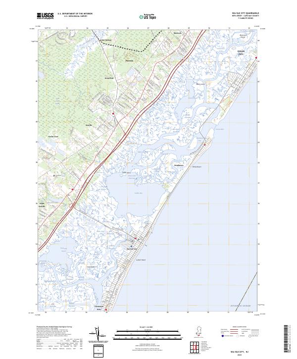
Sea Isle City and the neighboring barrier island community of Strathmere are defined by an intricate network of tidal channels and back-bay marshes. This 2023 survey records the modern footprint of the Jersey Shore, where the Intracoastal Waterway threads through Ludlam Bay and Townsend Sound. The coastal landscape is broken by significant breaches like Corson Inlet and Townsends Inlet, which separate the barrier islands and dictate the flow of the Main Channel.
Find a feature on this map
146 named features on this map. Tap any name to fly to it.
Don’t see what you’re looking for? This feature index may not catch every label — zoom into the map to look around manually.
Map Details
Date Portrayed2023
Date Published2023
PublisherU.S. Geological Survey
Map TypeTopographic
Scale1:24000
Physical Dimensions24 x 29 inches
Editions of this 2023 Sea Isle City Map
This is the sole edition of this map. No revisions or reprints were ever made.
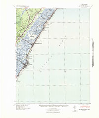
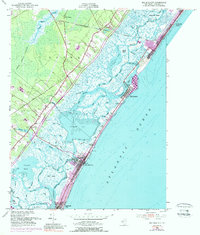
Historical Maps of Ocean View Through Time
3 maps found
Featured Locations
Source Details
SourceU.S. Geological Survey
CopyrightPublic Domain