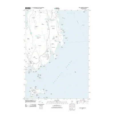
2011 Map of Seal Harbor
USGS Topo · Published 2011About this map
Acadia National Park dominates this coastal landscape, where the granite peaks of Cadillac Mountain and Dorr Mountain descend sharply into Frenchman Bay. This survey captures the intricate relationship between the Mount Desert Island shoreline and the Atlantic, detailing the harbor settlements of Seal Harbor and Otter Creek along with the offshore community at Islesford on Little Cranberry Island. The mapping of the interior road network, including the Park Loop Rd and the Kebo Mountain Rd, illustrates the century-old infrastructure designed for public access to the island's natural features.
Find a feature on this map
114 named features on this map. Tap any name to fly to it.
Don’t see what you’re looking for? This feature index may not catch every label — zoom into the map to look around manually.
Map Details
Editions of this 2011 Seal Harbor Map
This is the sole edition of this map. No revisions or reprints were ever made.
Other maps of this area

1904 · Mount Desert
USGS Topo · 1:62,500

1904 · Swan Island
USGS Topo · 1:62,500

1904 · Bar Harbor
USGS Topo · 1:62,500

1942 · Bar Harbor
USGS Topo · 1:62,500

1942 · Mount Desert
USGS Topo · 1:62,500

1943 · Swans Island
USGS Topo · 1:62,500

1945 · Swans Island
USGS Topo · 1:62,500

1948 · Bangor
USGS Topo · 1:250,000

1956 · Bar Harbor
USGS Topo · 1:62,500

1956 · Mount Desert
USGS Topo · 1:62,500