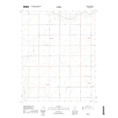
2020 Map of Sedan
USGS Topo · Published 2020About this map
The high plains of eastern Union County are centered on the community of Sedan, a localized hub defined by its grid of section lines and gravel county roads. Situated in a landscape where water is scarce, the topography is shaped by the subtle drainages of Carrizo Cr in the north and Pinabetes Cr to the southwest. These seasonal watercourses dictate the gentle relief of the surrounding prairie, which is otherwise partitioned into the large rectangular blocks of the Public Land Survey System.
Find a feature on this map
26 named features on this map. Tap any name to fly to it.
Don’t see what you’re looking for? This feature index may not catch every label — zoom into the map to look around manually.
Map Details
Editions of this 2020 Sedan Map
This is the sole edition of this map. No revisions or reprints were ever made.
Other maps of this area

1954 · Dalhart
USGS Topo · 1:250,000

1958 · Dalhart
USGS Topo · 1:250,000

1962 · Dalhart
USGS Topo · 1:250,000

1966 · Skull Mesa
USGS Topo · 1:24,000

1966 · Clapham
USGS Topo · 1:24,000

1966 · Sand Hill
USGS Topo · 1:24,000

1970 · Stead
USGS Topo · 1:24,000

1970 · Texline South
USGS Topo · 1:24,000

1970 · Clayton SW
USGS Topo · 1:24,000

1970 · Sedan
USGS Topo · 1:24,000